Moisture Increase Along East Coast This Weekend
Good morning everyone. Our quiet weather continues on and on, and we remain rather quiet till Monday or Tuesday. The tropics have went from insanity, to nothing at all as shear and steering currents bring us out of any intermediate concerns. This time of year, we begin to watch down by Central America for old fronts and waves that may develop into something and head north, but so far things are quiet.
SATELLITE

Today we have clouds and filtered sun, dry conditions, and highs near 80.
REGIONAL RADAR

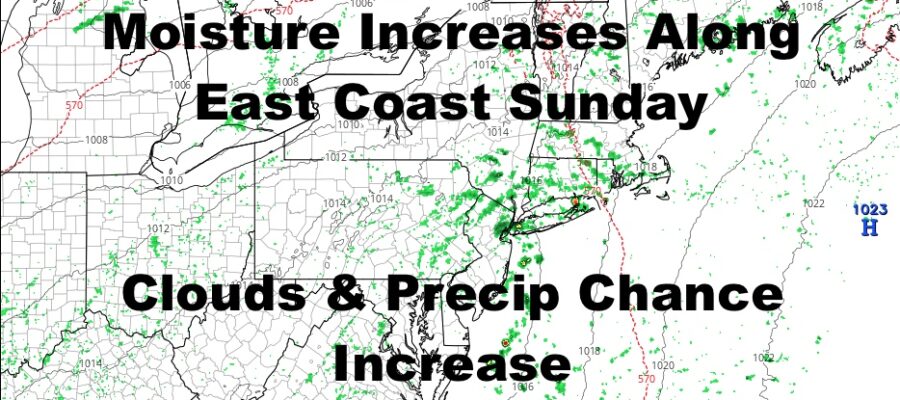
Clouds will continue to increase tomorrow as moisture increases and high pressure moves offshore. We’ll have highs 75-80 again, and the slight chance of a sprinkle.
Depending on the sunshine on Sunday and how early we get fog/low clouds out of the picture, will determine how warm we get. The more sun we get, the better the chance for a few low 80 readings popping up. Less sun, and we’ll linger in the 75-80 real again with the slight chance of a shower.
LOCAL RADAR NEW YORK CITY

Expect more clouds and the chance for some afternoon showers on Monday, but the best chance for rain will be overnight Monday into Tuesday. Highs both days will be in the 75-80 range.
LOCAL RADAR PHILADELPHIA


Cooler air heads in mid-week next week, and things will be typical early October. Look for sunny skies and highs 65-70 with crisp nights Wednesday through next Friday.
MANY THANKS TO TROPICAL TIDBITS FOR THE USE OF MAPS
Please note that with regards to any tropical storms or hurricanes, should a storm be threatening, please consult your local National Weather Service office or your local government officials about what action you should be taking to protect life and property.