

COUPON CODE SUMMER24 GET 10% OFF
(Tempest is an affilllate of Meteorologist Joe Cioffi & earns commissions on sales.)
NYC Forecast Adjustment For Next Workweek
Good afternoon everyone. While today through Sunday pan out the way we forecasted, it looks as if some clouds and moisture get hung up as high pressure in the maritime wants to grind things to a halt. We’ll break it down for you below.
SATELLITE

For the rest of today, look for clouds slowly sinking to our south, with some sunshine developing. HIghs will be in the upper 70’s to low 80’s.
WEATHER RADAR

For tomorrow, northeast winds keep us on the cooler side, with clouds & sun expected and highs in the low 70’s at best. Clouds will continue to increase overnight, and we’ll see the risk of showers for Sunday. Highs in the upper 60’s to low 70’s under mostly cloudy skies.
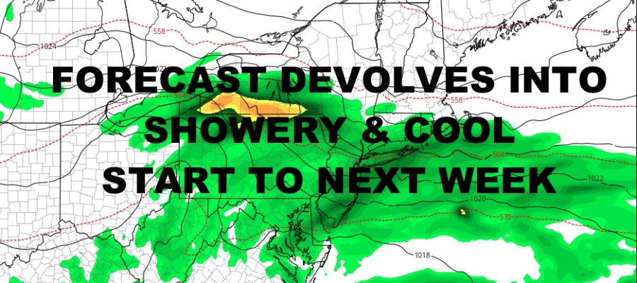
Monday and Tuesday were initially set to be sunny, dry, and cool, but high pressure will keep things from fully sliding away. Look for mostly cloudy skies each day, the chance of some on & off light showers, and highs in the mid to upper 60’s. Clouds and the risk of a few showers remain throughout most of the week, with mid 60’s dominating the forecast. We’ll also have to see if there’s any offshore development as a coastal low may try and form, heading into the New England or Nova Scotia. If this happens, it could be the first full week we didn’t hit 70 degrees since the spring.
BE SURE TO DOWNLOAD THE FREE METEOROLOGIST JOE CIOFFI WEATHER APP &
ANGRY BEN’S FREE WEATHER APP “THE ANGRY WEATHERMAN!
MANY THANKS TO TROPICAL TIDBITS FOR THE USE OF MAPS
Please note that with regards to any severe weather, tropical storms, or hurricanes, should a storm be threatening, please consult your local National Weather Service office or your local government officials about what action you should be taking to protect life and property.