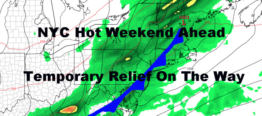
NYC Hot Weekend Ahead Temporary Relief On Way
Good morning everyone. After some morning clouds today, the heat will be upon us and won’t quit until Monday. We also have a complicated forecast in terms of early next week precip and temp-wise, but we are getting close to figuring out the timing of everything. Regardless, there is no polar vortex-like cold air or Nor’easter-like system coming as depicted in areas of social media.
SATELLITE

Clouds will begin to move away as the day wears on and we should have sunny skies by late morning/early afternoon. Because of the cloudy start, we’ll go for low 90’s instead of mid 90’s, but don’t be surprised to see some isolated 94/95 degree hits in the more notoriously hotter spots; it just won’t be widespread.
Each night, we’ll have a very slight chance of some nocturnal showers and storms, but we’ll have to see where those set up. This is very typical during a heatwave, especially a short one due to energy close at hand.
REGIONAL RADAR

Tomorrow and Sunday are identical very hot and muggy days. Expect sunny skies, 95-100 degree temps, and very high heat indexes approaching 110. Please use caution and take proper steps to ensure safety and the safety of elderly and children. Hydrate, limit outdoor activity, and stay in air conditioned spaces if feasible.
We’ll have another slight shot at some nocturnal storms and again, we’ll have to see where those pop up.
LOCAL RADAR NEW YORK CITY

On Monday, our relief process begins. Unfortunately a series of reinforcing air masses will be slow to move, not clear cut, and quick to move out. We won’t be in heatwave territory anymore, but expect a very warm and humid day regardless. Look for a decent shot at some showers and storms, highs in the mid to upper 80’s and muggy.
On Tuesday, we’ll have showers departing early, possibly even before sunrise, then some leftover clouds and dropping humidity will ensue. For now, we’re probably looking at highs in the low to mid 80’s. If we wind up in the low 80’s, that’ll be 2-4 degrees below average, not the 15-20 degree drop that some of these maps floating around on social media.
Mid-week, we start to warm up again and back into the mid to upper 80 realm and that should take us into next weekend with possibly another shot at 90+. The jury is still out on that, but you can forget about a Nor’easter-like system on Saturday and 50’s/60’s.
This time of year, unless our pattern is clear cut, models don’t do a very good job handling the prospect of scattered showers, storms, and slow moving fronts. It’s very easy to jump ahead and call for all of these outlandish scenarios, but they are rare and usually happen by “surprise”; meaning that the day before or day of, conditions will set up just right where you thought you’d have a cooler than average day due to a weather system, and things wind up being even cooler than what’s expected due to stubborn precipitation/stubborn easterly fetch.
For the recap, NO polar vortex, just a return to a more average, summer-like pattern; with warm and dry days, then very warm and humid days, and a 1-2 day shot of nice relief before everything resets again.
LOCAL RADAR PHILADELPHIA


MANY THANKS TO TROPICAL TIDBITS FOR THE USE OF MAPS
Please note that with regards to any tropical storms or hurricanes, should a storm be threatening, please consult your local National Weather Service office or your local government officials about what action you should be taking to protect life and property.