

COUPON CODE SUMMER24 GET 10% OFF
(Tempest is an affilllate of Meteorologist Joe Cioffi & earns commissions on sales.)
NYC Last of August Outlook
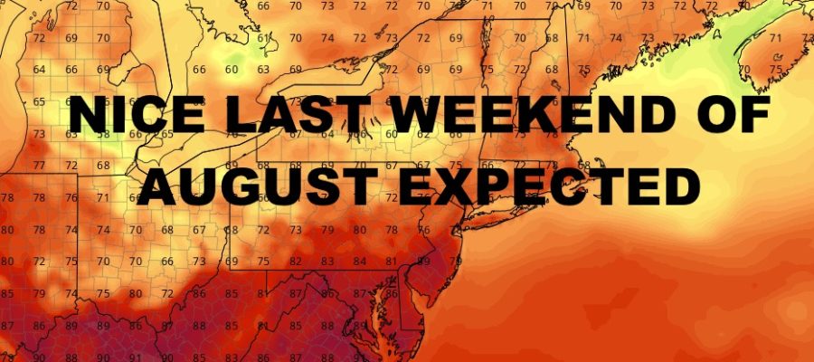
Good morning everyone. The last of our line of heavy showers and thunderstorms is pushing through the East End of Long Island, clearing the way for a decent day here in the NYC area. Meanwhile, we are starting to see a pattern change as weaker areas of energy swing through every few days; plus a nice weekend expected for the last one of August.
SATELLITE

Look for increasing sunshine today with the slight risk of a widely scattered popcorn shower or storm. This will be due some instability in the upper atmosphere. Otherwise, we’ll have a seasonably warm & humid day in the near 80/low 80º range.
WEATHER RADAR

The workweek starts off with more low 80/near 80º temps and sunshine for the most part. Tomorrow we could still see a stray popcorn shower or storm, but Tuesday and Wednesday are dry & sunny. For Thursday and Friday, we increase the risk of a few showers and storms; more humid, with highs in the low to mid 80’s.
For next weekend, look for sunshine and 80-85º temps for Saturday, then a cooldown possible on Sunday with some extra clouds. Highs possibly in the 75-80º range. We’ll keep an eye on Sunday and adjust as needed.
BE SURE TO DOWNLOAD THE FREE METEOROLOGIST JOE CIOFFI WEATHER APP &
ANGRY BEN’S FREE WEATHER APP “THE ANGRY WEATHERMAN!
MANY THANKS TO TROPICAL TIDBITS FOR THE USE OF MAPS
Please note that with regards to any severe weather, tropical storms, or hurricanes, should a storm be threatening, please consult your local National Weather Service office or your local government officials about what action you should be taking to protect life and property.