
Weather in 5/Joe & Joe Weather Show Latest Podcast
NYC Persistent Southeast Moisture Knocks Down Temps Tomorrow
Good morning everyone. Tomorrow will be one of those “hiccups” in which the heat is interrupted by clouds and a few showers. A constant reoccurrence of low pressure in the southeast will once again push our way. Once it is gone, heat resumes and in a big way, especially mid-week.
SATELLITE

Expect clouds and sun today as that moisture begins to push our way. We’ll be precip free and still very warm today, with highs in the upper 80’s and humid. Overnight we only dip to near 70 and we’ll have the slight chance of a shower.
With a wave of low pressure riding along the coast, an easterly flow will kick in tomorrow along with the clouds. That’ll help keep us in the low to mid 80 range, and we’ll have the chance of a few showers, maybe even a scattered embedded rumble.
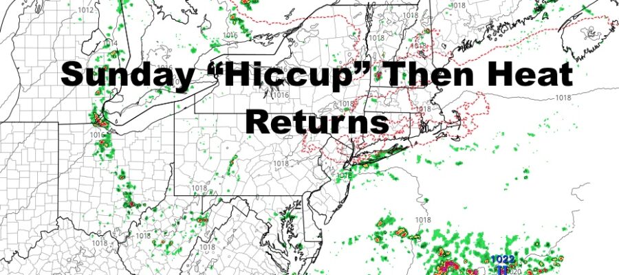
WEATHER RADAR

Sunshine slowly returns as do warmer temps on Monday. Humidity still remains, and we’ll have highs in the mid to upper 80’s. Things will fully push away by Tuesday, helping to bring back the heat. We’ll have highs in the near 90 range, then low 90’s on Wednesday. From Wednesday onward, we’ll have the slight chance of storms each day, with Friday having the best shot. Low to mid 90’s grace us on Thursday, then we “dip” back to the near 90 range Friday with the extra clouds.

Very warm to hot weather continues during the period, with maybe a hiccup here and there like tomorrow. However, the overall pattern shows a dominant pattern of above average temps.
BE SURE TO DOWNLOAD THE FREE METEOROLOGIST JOE CIOFFI WEATHER APP &
ANGRY BEN’S FREE WEATHER APP “THE ANGRY WEATHERMAN!

MANY THANKS TO TROPICAL TIDBITS & F5 WEATHER FOR THE USE OF MAPS
Please note that with regards to any severe weather, tropical storms, or hurricanes, should a storm be threatening, please consult your local National Weather Service office or your local government officials about what action you should be taking to protect life and property.