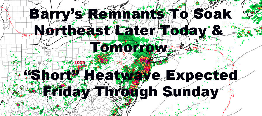
Barry Remnants Set To Soak NYC Area
Good morning everyone. We have a muggy one ahead and as promised, what remains of Barry is slowly creeping our way. This will eventually bring some tropical-like showers and storms in the Northeast, and flood watches are posted accordingly in spots. In other news, our “short” heatwave is on schedule. Joe and I like the old definition of one better and feel that they’ve cheapened what a heatwave should be; but by new definition, it’ll be one regardless.
SATELLITE

Expect a muggy and very warm day with more clouds than sun as we go on. We go for upper 80’s to near 90 today, but with the humidity, it could feel like 95-100. We’ll also begin to have the threat of a few scattered tropical, squally, gusty showers & storms at any time from early afternoon onward, courtesy of whats left of Barry.
We’ll have a better chance of heavy showers and storms tonight, and the biggest threat remains flash flooding and gusty winds.
Tomorrow is our “cool” day as advertised while we try and get rid of the rest of Barry and whatever schmutz it brought with it. Cloudy skies will keep temps down, as well as the chance of more scattered squally showers and storms. Highs a muggy low to mid 80’s.
REGIONAL RADAR

Don’t fret though, our heatwave is “late” due to Barry but still coming. I would say had it not been for Barry, we would’ve had an old school, true heatwave. For now, those who enjoy the heat, will have to settle with the new cheapened definition with a very hot Friday through Sunday.
Look for sunny skies, hot and humid on Friday; highs in the low to mid 90’s. We turn up the sizzle on Saturday and Sunday, with a very hot 95-100 both days. Some localized, notoriously hotter spots could break 100.
LOCAL RADAR NEW YORK CITY

Our heatwave comes to a close Sunday as “relief” passes by late Sunday night/Monday morning in the form of a cold front. However, all we really do is take away heatwave-level temps, and replace them with warm to very warm temps. Highs Monday may still make it into the upper 80’s, and mid to upper 80’s and humid Tuesday onward.
LOCAL RADAR PHILADELPHIA


After this heatwave, no extreme heat is imminent, but we will remain locked in a typical summer-like pattern, with warm to very warm temps, more humid days than non-humid, and the chance of showers & storms in the afternoon as a more active pattern emerges.
MANY THANKS TO TROPICAL TIDBITS FOR THE USE OF MAPS
Please note that with regards to any tropical storms or hurricanes, should a storm be threatening, please consult your local National Weather Service office or your local government officials about what action you should be taking to protect life and property.