
Weather in 5/Joe & Joe Weather Show Latest Podcast
NYC First Frost Possible This Week Then November 70’s?
Good morning everyone. We have a very quiet week this week shaping up, so I’m using this quiet time to delve into the long range. Having done so, there is the possibility of not 1, but 2 opportunities for 65-75 degree temps coming up. Will one or both pan out? We shall see.
SATELLITE

First we’ll discuss the seasonable stuff, and that’s what this week is, seasonable. Look for sunshine today and seasonably comfortable weather. It’ll be dry and sunny with highs int he 55-60 range. Overnight, lows will dip into the mid 40’s, with some upper 30’s possible away from the City.
WEATHER RADAR

Tomorrow we have AM sun, PM clouds, but no precipitation expected. We’ll be on the breezy side, with mid 50’s in most spots. Lows will be in the upper 30’s to near 40, but parts of Long Island may see their first frost wish mid to upper 30’s possible.
Wednesday also looks seasonably cool and breezy, but the sunshine returns to help things out a bit. Expect low to mid 50’s as highs, and overnight, NYC may see its first frost. Winds will relax a bit and lows are expected in the mid to upper 30’s. Away from NYC, especially N&W and the Pine Barrens of LI, lows may dip to around freezing.
Thursday remains sunny and we remain seasonably cool with highs in the low 50’s. We cloud up overnight as low pressure forms well offshore, and that’ll help keep Friday in the clouds with more low 50’s. There’s a slight chance low pressure might throw back some very light rain far enough to reach us, but we have to wait on that prospect.
Clouds may stick around Sat morning, then we’ll have clearing and low 50’s. Sunday looks like the better of the two, with light winds and mid 50’s.

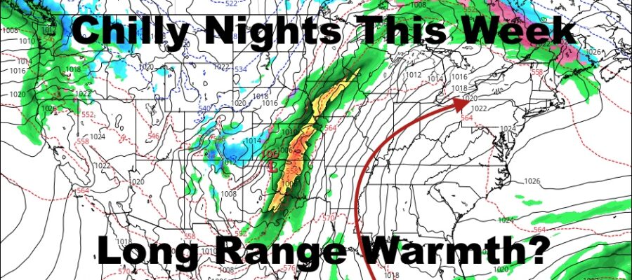
In the long range, I see two distinct possibilities for some milder/warmer air to sneak in for a couple of days each. They both involve deep-digging lows in the lower Midwest racing into Canada, stretched out cold fronts, and warm fronts passing well north of our area. It’s too far out right now to make the call, but there are hints of this possibility. Sometimes they pan out, other times the Ohio Valley warms up nicely, but the warm front never makes it past our area.
Either way, some front-related warmth is on the table, and we’ll be watching closely to see if either system can provide some “Indian Summer” conditions. Remember, the term isn’t viable unless you have a frost first, which will most likely happen this week.
BE SURE TO DOWNLOAD THE FREE METEOROLOGIST JOE CIOFFI WEATHER APP &
ANGRY BEN’S FREE WEATHER APP “THE ANGRY WEATHERMAN!

MANY THANKS TO TROPICAL TIDBITS & F5 WEATHER FOR THE USE OF MAPS
Please note that with regards to any severe weather, tropical storms, or hurricanes, should a storm be threatening, please consult your local National Weather Service office or your local government officials about what action you should be taking to protect life and property.