NYC LONG RANGE PATTERN HOSTILE AGAINST SNOW
NYC LONG RANGE PATTERN HOSTILE AGAINST SNOW
NYC LONG RANGE PATTERN HOSTILE AGAINST SNOW – Good morning everyone. Snow, sleet, and rain has entered the picture, with a changeover already happening in many areas. Continue to use caution for the rest of the morning, especially while walking on slush/ice covered pavement.
Any mix we have, will change over to all rain within a couple of hours for parts still experiencing some frozen precip. After that, look for a cold rain all day and highs near 40. On the back end, look for cold air filtering back down tonight and gusty winds. This will cause a problem overnight with flash freezing, giving us patches of black ice and slick areas for those on the road.
Tomorrow will be sunny, cold, and windy. Look for highs in the upper 20’s to low 30’s, then we’ll modify somewhat into the upper 30’s for Friday. Warmer air arrives for the weekend, with cloudy skies, 45-50, and the chance of rain, especially on Sunday. As we begin our trek into mid February, the start of next week looks slightly above normal, with low to mid 40’s.
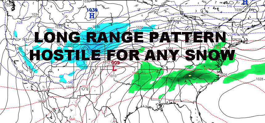
In the long range, I see nothing conducive for any big snow in the area. We’ll still have pockets of cold air, but as discussed for a couple of weeks now, system path and the lack of longevity for the cold air, will be a key factor in having a quiet rest of February snow-wise. We have plenty of systems that’ll transit the area, but their paths will generally be a warmer solution.
Basically, our only shot for snow will be onset of any system (much like today), or if a piece of energy is left behind as cold air moves in. That is the type of surprise we’ll have to look out for, but in theory we are looking very quiet as of now.
Last year at this time, a system such as today would have given us 60’s after the warm front passed. However, this is not happening because the south has been below average all year and theres not much warm air to work with. However, as the south begins to warm up dramatically over the next couple of weeks, we could see a day here or there of spring-like temps if our systems continue to take this westerly route.


NATIONAL WEATHER SERVICE SNOW FORECASTS
LATEST JOESTRADAMUS ON THE LONG RANGE
Weather App

Don’t be without Meteorologist Joe Cioffi’s weather app. It is really a meteorologist app because you get my forecasts and my analysis and not some automated computer generated forecast based on the GFS model. This is why your app forecast changes every 6 hours. It is model driven with no human input at all. It gives you an icon, a temperature and no insight whatsoever.
It is a complete weather app to suit your forecast needs. All the weather information you need is right on your phone. Android or I-phone, use it to keep track of all the latest weather information and forecasts. This weather app is also free of advertising so you don’t have to worry about security issues with your device. An accurate forecast and no worries that your device is being compromised.
Use it in conjunction with my website and my facebook and twitter and you have complete weather coverage of all the latest weather and the long range outlook. The website has been redone and upgraded. Its easy to use and everything is archived so you can see how well Joe does or doesn’t do when it comes to forecasts and outlooks.
Just click on the google play button or the apple store button on the sidebar for my app which is on My Weather Concierge. Download the app for free. Subscribe to my forecasts on an ad free environment for just 99 cents a month.
Get my forecasts in the palm of your hand for less than the cost of a cup of Joe!