DOWNLOAD MY NEW FREE JOESTRADAMUS WEATHER APP FOR ALL DEVICES
THE APP IS ABSOLUTELY FREE TO ALL BUT CONSIDERING SUBSCRIBING TO PATREON FOR A WEATHER EXPERIENCE FREE OF ADS, EXCLUSIVE VIDEOS FOR MEMBERS ONLY AND MUCH MORE…STARTS AT $2 A MONTH..MESSAGE ME AT ANY TIME
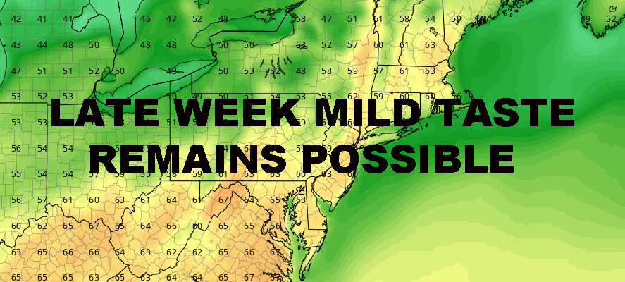
NYC MILD WEATHER TODAY POSSIBLE LATE WEEK
Good morning everyone. We have a beautiful day expected here in the NYC area before we begin to cool off over the course of 48 hours. Then, that slow moving see-saw begins to come back our way with some mild temps possible late week and into the weekend if things time out correctly.
EASTERN SATELLITE

Birds will be chirping today and the sun will be out for at least part of the day. Light winds will become steady out of the SSW, and possibly a little gusty at the shore. That’ll hold temps down along the south shores of Brooklyn, Queens, and Long Island, but away from the ocean we should see 55-60 in most areas. Again, inland spots such as downtown Brooklyn, interior/north Queens, and the north shore of Nassau, could possibly crack 60.
REGIONAL RADAR

Tomorrow’s chance of light showers remains small as our next system is rather disorganized. However, clouds and timing of the front will coincide with our heating hours, keeping temps in the low 50’s. Once, that front passes, we’ll drop through the 40’s and have a chilly night into the upper 20’s to low 30’s.
Cool air sticks around both Tuesday and Wednesday with mid to upper 40’s, then we modify back towards average on Thursday. Although cool to start, this will be a welcome dry block as we could remain dry all the way through Saturday.
LOCAL RADAR NEW YORK CITY

A large, but stretched out system begins to march our way late week and into next weekend. It’ll take its time, so we could pull out a few mild ones before the rain and cooler air arrives again. Our best shot for a mild day will be Friday, with near 60 temps possible.
Next Saturday remains to be seen as to how mild we can go. I’m going to remain conservative until we see how this front plays out, and say we have another chance at near 60 temps for Saturday. Even though some models show we could have a 3rd mild one on Sunday, I think it’s way too soon to jump ahead, especially with a system lurking. IF, and that’s a big IF, we go mild on Sunday, it’ll probably put Saturday in the sweet spot for the mildest day of this brief period.
LOCAL RADAR PHILADELPHIA


Our long range continues to look very healthy, with no surprises in store for us at this moment. Hopefully the talk of major spring snowstorms has subsided, because I simply do not see it.
Can we get a passing flake or wet mush mixed in with rain as a front passes by and precipitation lags behind? Sure, we can actually get that through April or even early May; but as far as I can see, we are looking very typical for this time of year and looking ahead a few weeks.
MANY THANKS TO TROPICAL TIDBITS FOR THE USE OF MAPS
Please note that with regards to any tropical storms or hurricanes, should a storm be threatening, please consult your local National Weather Service office or your local government officials about what action you should be taking to protect life and property.