NYC Next Rain Chance Late Sunday
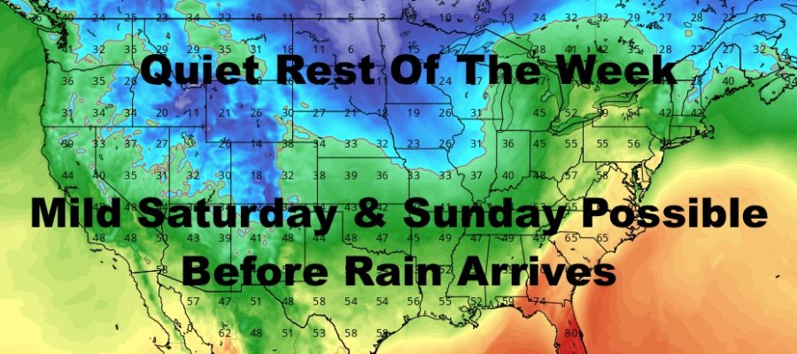
Good morning everyone and Merry Christmas to those who celebrate! We remain quiet for the rest of the week, plus we may have a repeat of yesterday’s mild temps on Saturday. The next chance for rain remains late Sunday, and I take a sneak peek into New Years Eve.
SATELLITE

Sunny skies rule again today, with some high, thin cirrus clouds transiting by. We’ll be a cooler, but still a few degrees above average. Look for highs in the mid 40’s. Christmas even tonight is looking pleasant and dry, with lows in themed 30’s.
REGIONAL RADAR

Christmas Day tomorrow will be a carbon copy of today, with sunny skies and mid 40’s once again. The radar will pretty much remain quiet through Sunday.
LOCAL RADAR NEW YORK CITY

On Thursday, clouds increase late with a warmer airmass moving in. It’ll be a somewhat long process, so don’t expect any warmer air just yet. Highs Thursday remain in the mid 40’s.
Friday also brings mid 40’s, but we’ll have the slight chance of a sprinkle as that warmer air finally begins to enter the picture.
LOCAL RADAR PHILADELPHIA


The sun returns for Saturday and we’ll have a mild day ahead of our next system. Look for 50-55 range temps and a dry day. Clouds begin to creep in Saturday night and Sunday, and rain should move in by late afternoon/evening on Sunday. We don’t have an exact timeline yet, but most of the day looks ok so far. For now, we’ll stick with 50-55 Sunday, but we could go a few notches higher if we see some extra sunshine.
Rain is gone by very early Monday morning, and cool air begins to filter back in. Expect winds to increase and a blustery day with 40-45 degree temps.
For New Years Eve on Tuesday, so far we are looking blustery a cool/cold. Nothing extreme, but if you’re going to Times Square to celebrate, dress appropriately as wind chills could be between the upper teens and mid 20’s depending on the final wind profile.
MANY THANKS TO TROPICAL TIDBITS FOR THE USE OF MAPS
Please note that with regards to any tropical storms or hurricanes, should a storm be threatening, please consult your local National Weather Service office or your local government officials about what action you should be taking to protect life and property.