NYC Spring Erupts This Week
Good morning everyone and Happy Easter to all who celebrate. We have a beautiful day today which will be on the cool side, but mild air begins to creep in tomorrow. That mild air will build to a crescendo on Thur/Fri with near 80/80+ temps, but some spots may see cooler conditions. We’ll explain below, but even the “cooler” spots will experience nice, mild conditions.
SATELLITE

Sunshine and much lighter winds rule the roost today, but things remain on the cool side. We’ll have temps in the mid 50’s, but a few spots may approach 60 if the wind direction cooperates. Tonight will be our last cold one for a while, with lows in the mid to upper 30’s.
Sunshine remains tomorrow and milder air begins the push. Near 60/low 60 temps will be more common, and things will be dry.
WEATHER RADAR

The core of the milder air begins to drift towards the area for Tuesday as we keep the sunshine in the forecast. Highs will be in the near 70 range, cooler at the immediate shore and east end of Long Island.
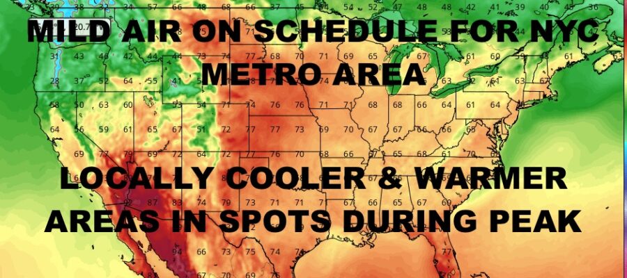
We go even milder on Wednesday with highs resulting in a broader band of near 70 to upper 70’s depending on your location. The mildest temps will be found in central Brooklyn, Queens, west of Manhattan, and central/northern parts of Nassau and Suffolk.
The same goes for Thursday, but now we’re talking mid 70’s to low 80’s, with the warmest temps happening in the same spots. Don’t be surprised to see a few mid 80 hits IF those westerlies cooperate. We’ll keep that momentum going for Friday, but some extra clouds could dial things down a bit.

Our next system approaches next weekend, but we could hold onto some mild temps depending on the timing of our cold front and how much sun we see.
BE SURE TO DOWNLOAD THE FREE METEOROLOGIST JOE CIOFFI WEATHER APP &
ANGRY BEN’S FREE WEATHER APP “THE ANGRY WEATHERMAN!
MANY THANKS TO TROPICAL TIDBITS & F5 WEATHER FOR THE USE OF MAPS
Please note that with regards to any severe weather, tropical storms, or hurricanes, should a storm be threatening, please consult your local National Weather Service office or your local government officials about what action you should be taking to protect life and property.