

COUPON CODE SUMMER24 GET 10% OFF
(Tempest is an affilllate of Meteorologist Joe Cioffi & earns commissions on sales.)
NYC Warm & Dry Weekend Expected
Good morning everyone. Low pressure continues to spin away up near the NY State/Canada border; bringing with it, some clouds and instability. This will be the theme for the next couple of days, but overall, temps are mostly tame throughout the forecast period.
SATELLITE

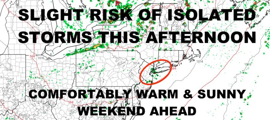
For today, look for sunshine to work on some of that instability with cooler air aloft. This will give us the chance of an isolated shower or storm this afternoon or evening. Not everyone will see any action, if any action at all; but for those who do, look for the risk of small hail, frequent lightning, and torrential rain. Highs today near 80. Look for more of the same tomorrow regarding isolated storm risk and highs near 80.
WEATHER RADAR

Wednesday looks sunny and dry with 80-85 degree temps, then clouds begin to increase overnight. Our next front nears Thursday afternoon. Ahead of it, moisture will ride up the coast from SW to NE. We’ll have the risk of on and off showers and storms, with the best chance being overnight Thursday. It’ll also be on the muggy side with 80-85 degree temps. As the front lags, we could see some more showers and storms Friday morning, into the afternoon. Highs again in the 80-85 degree range.
So far, your weekend continues to look fantastic. Look for full sunshine both Saturday & Sunday, low to mid 80’s, and relatively dry conditions for this time of year.
BE SURE TO DOWNLOAD THE FREE METEOROLOGIST JOE CIOFFI WEATHER APP &
ANGRY BEN’S FREE WEATHER APP “THE ANGRY WEATHERMAN!
MANY THANKS TO TROPICAL TIDBITS FOR THE USE OF MAPS
Please note that with regards to any severe weather, tropical storms, or hurricanes, should a storm be threatening, please consult your local National Weather Service office or your local government officials about what action you should be taking to protect life and property.