NYC Weekend Continues Split Outlook
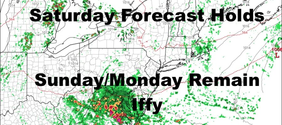
Good morning everyone. We’re not starting off too bad here today considering a wave of low pressure is just to our south. That’ll help spin some clouds in and out of the area today, then we’ll be watching a couple more waves to see how they will affect our Sunday and Monday. Today’s wave has a 50/50 chance of becoming “tropical”, but it doesn’t really change the outcome of things, just news headlines.
SATELLITE
Expect sun and clouds today with warm & humid conditions. Stiff easterlies will give the illusion of a cooler day, but dewpoints are up there and we’ll have highs in the mid 80’s; slightly cooler at the shore. We could also have a few showers sneak in as a result of that low pressure to our south.
REGIONAL RADAR
High pressure fights back tomorrow, and we’ll see more sun than clouds. It’ll be slightly cooler with maritime high pressure dominating temporarily, but at least it remains dry. Highs tomorrow in the low to mid 80’s. Some coastal areas may not get out of the upper 70’s.
Clouds move back in on Sunday with the next wave of low pressure, but I’m not 100% confident in terms of what our day will look like rain-wise. It’s very possible that our next wave does what today’s wave does, sliding just to our south, but it may cover more real estate. If so, we’ll have a better chance of showers. The only thing we can do at this point, is keep an eye on the radar and keep or cancel your plans that morning. Highs Sunday will be in the upper 70’s to near 80 in some spots.
LOCAL RADAR NEW YORK CITY
On Monday we play the game again with another wave of low pressure, and we’ll have to wait and see how far north it can go. At a minimum, we’ll have a generally cloudy day with highs in the near 80 to low 80 realm. If we get rain out of this, we may dip into the upper 70’s.
Tuesday onward is a big improvement, but the 90’s are essentially gone for now. Expect dry and relatively sunny weather for the rest of the work week, with highs in the 80-85 range.
LOCAL RADAR PHILADELPHIA

For you tropical weather, Josephine is basically a done deal as she runs into major shear that’ll weaken her and steer her well away from the Caribbean/US.
Our long range continues to show either a series of stronger fronts, or a sharp cold front building in the next 10 days or so. This means the chance of some more hot & humid conditions ahead of any one of these fronts, and the possibility of a cool blast moving in for a few days down the road.
We’ll keep an eye on it all.
MANY THANKS TO TROPICAL TIDBITS FOR THE USE OF MAPS
Please note that with regards to any tropical storms or hurricanes, should a storm be threatening, please consult your local National Weather Service office or your local government officials about what action you should be taking to protect life and property.


