

COUPON CODE SUMMER24 GET 10% OFF
(Tempest is an affilllate of Meteorologist Joe Cioffi & earns commissions on sales.)
NYC Weekend Heat Relief “Cancelled”
Good morning everyone. Today is the last day of 80’s for a stretch as stubbornly hot conditions rush back into the area. To make things worse, there’s not a drop of rain in sight aside from the slight risk of widely scattered storms this weekend.
SATELLITE

For today, enjoy mid 80’s with relatively low dew points for this time of year. Mid 90’s return with a vengeance tomorrow, with oppressive conditions and increasing humidity.
WEATHER RADAR

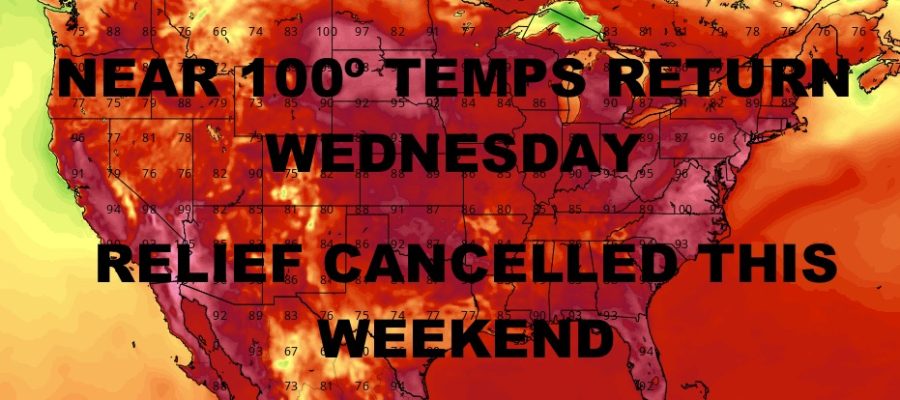
Sunshine remains with us on Wednesday, with near 100º temps for the hottest day of this forecast period. This settle down a bit Thursday and Friday, with low 90’s in most spots.
The weekend looks to remain very warm to hot, with high in the upper 80’s to near 90 on Saturday; then upper 80’s to low 90’s on Sunday. Each day will come with the slight risk of an isolated PM heavy thunderstorm.
BE SURE TO DOWNLOAD THE FREE METEOROLOGIST JOE CIOFFI WEATHER APP &
ANGRY BEN’S FREE WEATHER APP “THE ANGRY WEATHERMAN!
MANY THANKS TO TROPICAL TIDBITS FOR THE USE OF MAPS
Please note that with regards to any severe weather, tropical storms, or hurricanes, should a storm be threatening, please consult your local National Weather Service office or your local government officials about what action you should be taking to protect life and property.