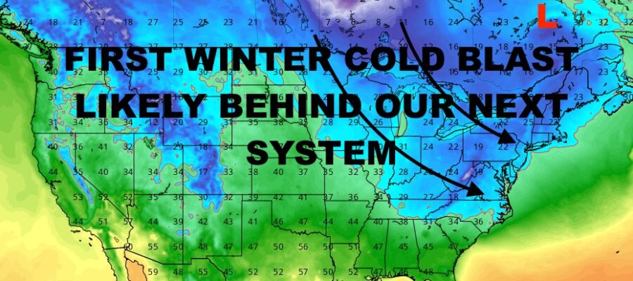
Long Range Outlook Shows Arctic Air Intrusion After Next System
Good afternoon everyone and welcome to our first day of winter! We have seasonable weather to start our winter season, then we go milder for the holidays. We’re also on the very quiet side until late Tuesday, when we’re expecting our next system to head in.
This one will be a lot more tame compared to the blockbuster storm we had several days ago, but it’ll be interesting in a different way. First and foremost, any type of rain and this point could spell trouble for rivers and streams in areas where flooding has just occurred. While we’re not expecting copious amounts of rain, 1-2 inches of rain could be enough to cause some more flooding in those areas.
The interesting part to me will be how this thing exits the area, and whether or not the primary low gets cut off in Canada somewhere in between New York and Hudson Bay. If this occurs, expect several disturbances to ride around the rim of our cut-off low pressure, and this will bring reinforcing shots of arctic air. One of those reinforcing hits, could come in for New Year’s Eve, giving us a very cold night in the Northeast and parts of the Mid-Atlantic.
Your local forecast is below –
SATELLITE

We are quiet and chilly today, with sunshine and highs in the upper 30’s to low 40’s. Overnight will be the coldest night this week, with temps plunging into the 20-25 range. Areas well away from NYC could see some upper teens.
That’ll equate into our coldest day of the week tomorrow, with highs in the mid to upper 30’s and sunshine.
WEATHER RADAR

Clouds increase on Saturday ahead of that weak disturbance we’ve been talking about, but it looks to be on the very dry side. I’ll keep the slight chance of a sprinkle or flurry in the forecast just in case, but don’t be surprised if we get absolutely nothing. Highs 40-45.
Sunday looks fantastic, with increasing sunshine and highs in the upper 40’s to near 50.

Monday is another winner with sunshine and 50-55 degree temps, then clouds increase Tuesday with more low 50’s and the chance of some late PM light rain. Wednesday looks like the bulk of the rain, but we’ll hold off as we watch how everything unfolds.
BE SURE TO DOWNLOAD THE FREE METEOROLOGIST JOE CIOFFI WEATHER APP &
ANGRY BEN’S FREE WEATHER APP “THE ANGRY WEATHERMAN!
MANY THANKS TO TROPICAL TIDBITS & F5 WEATHER FOR THE USE OF MAPS
Please note that with regards to any severe weather, tropical storms, or hurricanes, should a storm be threatening, please consult your local National Weather Service office or your local government officials about what action you should be taking to protect life and property.