Maritime Fetch Won’t Let NYC Go & Questionable Warmth This Week
Good morning everyone. Our pattern remains stuck in quicksand, and we have a little setback today with some morning clouds and drizzle. A couple of slow moving low pressure systems and a stubborn high to our ENE, will really challenge the narrative this week of 80’s breaking out. It’s still possible, but we’ll have to take it day by day and it’ll be sunshine-dependent.
SATELLITE

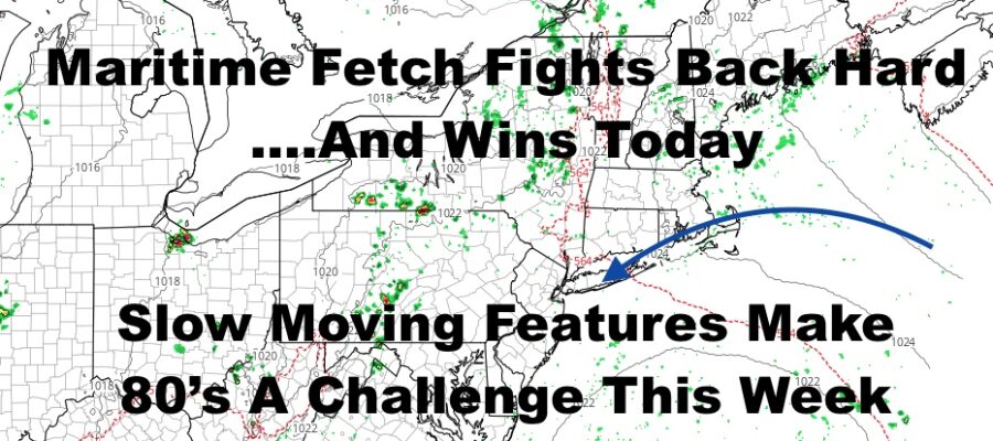
Low pressure once again spins away well to our SSE, while high pressure pushes that maritime air into the Northeast. Thats helping to create some showers and storms well to our north as warmer air does its best to try and enter the picture, but fails today.
Look for morning clouds and drizzle, then some PM blue patches. That ENE flow will help hold the temperatures down, and clouds will help as well; taking away some late morning heating. Expect highs around 70 today, 60’s by the beaches, and maybe we’ll break 70 IF sunshine breaks out.
REGIONAL RADAR

Tomorrow was supposed to be our first 80 degree day of the week, but lingering clouds and a stubborn marine layer may zorch that. We’ll get close though, with clouds & sun and highs in the mid to upper 70’s. We could see a few 80 degree hits IF we get some extra sunshine, but that remains to be seen.
LOCAL RADAR NEW YORK CITY

Upper 70’s to near 80 is possible on Wednesday and again, it’s all sunshine-dependent. Throw in some extra sunshine suddenly, and 80-85 is not out of the realm of possibilities; but again, we’re talking an hour to hour forecast or “now”cast.
Humidity increase on Thursday, and we’ll see some upper 70’s to low 80’s. Showers and storms move in overnight, and that risk will stay with us through Friday with more upper 70’s to low 80’s.
God-willing, next weekend seems to be ok, with a mix of sun & clouds Saturday with mid to upper 70’s; then mid 70’s and clear skies Sunday for a “perfect” day.
LOCAL RADAR PHILADELPHIA


Overall, things are moving very slow everywhere starting this week. Even the Southeast will get into some cut-off-low action as their shower and thunderstorm activity increases. We do have a few chances at some summertime temps to start off June, but the forecast is very complicated and we’ll have to take it day by day.
MANY THANKS TO TROPICAL TIDBITS FOR THE USE OF MAPS
Please note that with regards to any tropical storms or hurricanes, should a storm be threatening, please consult your local National Weather Service office or your local government officials about what action you should be taking to protect life and property.