NYC 90’s Strike Back As Tropics Heat Up
Good morning everyone. In case you haven’t noticed, it’s hot out. 90 degree weather has returned and did so rather uneventfully yesterday under low humidity. However, the humidity begins to creep up as do the temps for the next 3 days. This is something we spoke about in terms of the possibility of 2 more heatwaves or near-heatwaves; one at the end of July, and one at the end of the 1st week of August or to start the 2nd week.
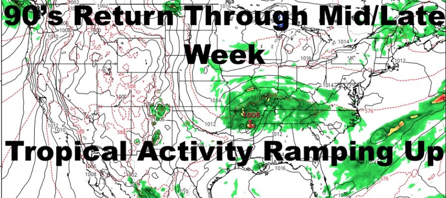
The August one will become tricky with tropical activity really starting to ramp up and it’s a few weeks early compared to the average year. Typically mid August onward, we start looking for Cape Verde sourced systems, but alas, this is going to be an active year and things are rolling early.
SATELLITE

As far as this heat is concerned, we have mid 90’s today under clouds, sun, and increasing humidity. Most of those clouds are the high, thin variety, and sometimes days like that make things seem even a little more toasty.
REGIONAL RADAR

The heat continues tomorrow with more clouds and sun, mid to upper 90’s, and just plain old very hot conditions. Best thing to do is stay inside if you can, and if you can’t, drink plenty of water and limit activity.
More very hot conditions stick around for Tuesday, and we’ll do low to mid 90’s under very juicy, muggy conditions. This will be the first chance of a thunderstorm, but the action will be scattered and mostly confined to inland spots.
LOCAL RADAR NEW YORK CITY

Mid week we “sink” back down to near 90/low 90 temps. We’ll have a slight drop in humidity with low 90’s on Wednesday, then near 90 temps Thursday and Friday under relatively sunny skies.
LOCAL RADAR PHILADELPHIA


I really don’t see any true breaks from this heat, and these moments of “relief” are temps returning from well above average, to “just” above average.
While we are dealing with hot temps, the topics are also becoming a concern. Hanna was a surprise in terms of how quickly she strengthened into a minimal hurricane, but many times we get those surprises in the Gulf. Now that she’s made landfall, flooding rains are the big concern. The land is so dry, the water has nowhere to go, creating raging flash floods.
Gonzalo took a route too far south and is interacting with South America, so at least it looks like the Gulf is saved from a double whammy. However, we are watching a disturbance off of Africa that is most likely to become Hurricane Isaiah if nothing gets in its way in terms of troughs or shear. Then we play the game as all eyes from the East Coast, Bermuda, the Gulf, and the Caribbean will be watching closely to see where it goes. On another note, if Isaiah does become a strong system, it can play games with our long range; either extending or shortening our summer even if it doesn’t directly affect us.
MANY THANKS TO TROPICAL TIDBITS FOR THE USE OF MAPS
Please note that with regards to any tropical storms or hurricanes, should a storm be threatening, please consult your local National Weather Service office or your local government officials about what action you should be taking to protect life and property.