
Weather in 5/Joe & Joe Weather Show Latest Podcast
NYC AM Fog Then Heat Turns Up
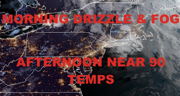
Good foggy morning everyone. We still have some remaining moisture draped along the transition zone between maritime air and a typical July airmass. One is on the move out, and one is on the move in. The heat will win out, and we’ll get into it this afternoon through Saturday.
SATELLITE

AM Fog will give way to a PM mix of sun and clouds. We’ll get propelled right into the upper 80’s to near 90. With that juicy air and sunshine working the atmosphere, we could see some widely scattered late PM storms dot the radar. Anything during the stretch will be capable of severe conditions, so just keep an eye to the sky and the radar, treating each isolated storm with respect.
WEATHER RADAR

Tomorrow will be the “driest” day in terms of thunderstorms activity even though we remain hot and humid. Expect highs near 90, with a very slight chance of an isolated PM storm.
Friday will be the hottest day of this stretch, with very humid conditions, mid 90’s, and maybe some late PM storms popping to temporarily give relief for those who see them. I expect heat advisory and possible air quality alerts to be posted for Friday.

Your weekend is looking juicy, with a mix of sun and clouds on Saturday and more near 90 temps. Moisture will begin to increase, and we’ll have a better chance of showers and heavy storms at any point in the day. We’ll cool off a bit for Sunday, but remain on the humid side. Look for more scattered showers and storms, with humid mid 80’s as highs.
BE SURE TO DOWNLOAD THE FREE METEOROLOGIST JOE CIOFFI WEATHER APP &
ANGRY BEN’S FREE WEATHER APP “THE ANGRY WEATHERMAN!

MANY THANKS TO TROPICAL TIDBITS & F5 WEATHER FOR THE USE OF MAPS
Please note that with regards to any severe weather, tropical storms, or hurricanes, should a storm be threatening, please consult your local National Weather Service office or your local government officials about what action you should be taking to protect life and property.