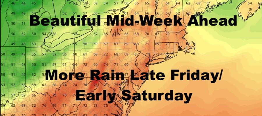
NYC Beautiful Mid Week Ahead
Good morning everyone. As promised, we have a gloomy, drizzly, raw start to our day today. Things may clear up late, and it’ll definitely be nice and clear by tomorrow to start a beautiful 2 day stretch for our mid-week. Another system swings through Friday into early Saturday, and that one may be on the vigorous side. The good thing though is that it’s on the move and most of our weekend is looking ok.
SATELLITE

Clouds will stick around today, with drizzle and light showers coming to an end by late morning/early afternoon. We may see some partial clearing late, and highs today will be in the mid 60’s which will be achieved late.
REGIONAL RADAR

Sunshine, a light breeze, and near 70 temps pay a visit tomorrow for a major improvement. We could go a little warmer on Thursday, with full sunshine and highs 70-75. Clouds will increase overnight Thursday as our next system starts to set up.
LOCAL RADAR NEW YORK CITY

We’ll be watching closely on the timing of that next low pressure moving in for Friday/early Saturday. As of now, I think the rain holds off till later on Friday, but we’re 4 days out and things may move along the slide rule of 4-6hrs earlier or later precip-wise. Depending on the clouds and precip, we’ll go for 65-70 in most spots.
Regardless, rain sticks around into early Saturday AM, then we’ll have some clearing. It’ll be a cool and breezy one, with highs near 60.
Sunday is the better of the 2 for our weekend, with winds calming down, full sunshine, and highs in the mid 60’s.
LOCAL RADAR PHILADELPHIA


MANY THANKS TO TROPICAL TIDBITS FOR THE USE OF MAPS
Please note that with regards to any tropical storms or hurricanes, should a storm be threatening, please consult your local National Weather Service office or your local government officials about what action you should be taking to protect life and property.