
Weather in 5/Joe & Joe Weather Show Latest Podcast
NYC Cold Today & Cloud-Dominant Week Ahead
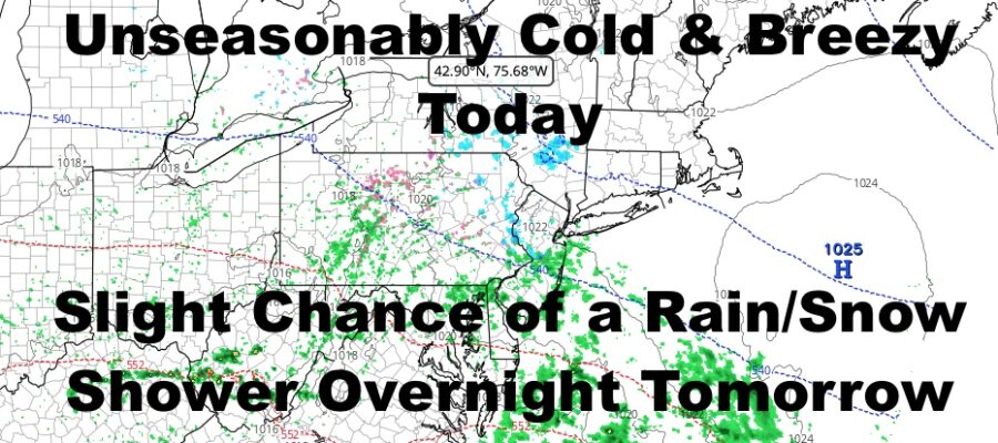
Good morning everyone. Very cold air for this time of season has arrived, and a stiff NW flow will help make it feel even colder. We have a semi-rough March week ahead as two systems back-to-back will help keep clouds in the picture, and below average to seasonably cool air dominates.
SATELLITE

Sunny skies are plenty today, but the sun won’t do much to help the situation. Yes, the March sun is strong, but you’ll only feel it in the greenhouse of your car. Look for stiff NW winds 15-20mph, and highs in the mid to upper 30’s.
F5 WEATHER RADARS

Clouds move in tomorrow ahead of a weak system, and that’ll give us the slight chance of a rain or snow shower in the afternoon and/or overnight. Highs will be in the upper 30’s to low 40’s, and the best chance of seeing any flakes would be N&W of the NYC area. No accumulation is expected.
Clouds stick around Wednesday and Thursday, with highs near 50 each day. We’ll also have the slight chance of a shower each day.
Clouds remain for a repeat on Friday, but the temps fall off into the low 40’s again. Cold air aloft will give us the chance of some wet snow mixing in with rain (if we get anything at all), with no accumulation expected.

The sun returns for our weekend, but seasonably cool to seasonably average will be the best we do temp-wise. Expect highs in the upper 40’s to low 50’s.
BE SURE TO DOWNLOAD THE FREE METEOROLOGIST JOE CIOFFI WEATHER APP &
ANGRY BEN’S FREE WEATHER APP “THE ANGRY WEATHERMAN!

MANY THANKS TO TROPICAL TIDBITS & F5 WEATHER FOR THE USE OF MAPS
Please note that with regards to any severe weather, tropical storms, or hurricanes, should a storm be threatening, please consult your local National Weather Service office or your local government officials about what action you should be taking to protect life and property.