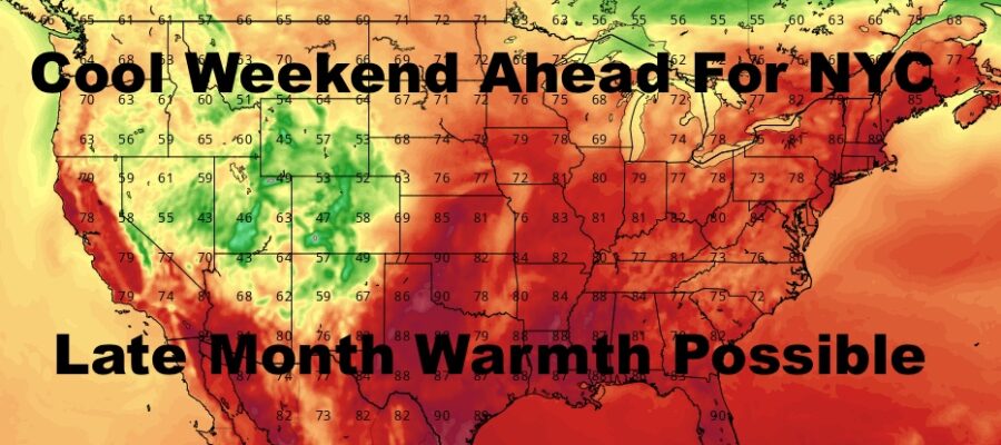
NYC Cool Weekend Ahead Possible Warmth Late Month
Good morning everyone. Hurricane Sally continues to pound the eastern Gulf Coast, with a prolonged storm surge and flooding rains due to her slow movement. Meanwhile, Teddy continues to possibly have its eyes set on the Bermuda area, Vicki meanders, and Paulette is holding onto strength in the northern Atlantic. The tropics remain very busy, but we have our own weather going on here.
SATELLITE

Sunshine dominates today, but smoke from the forest fires out west continues to blanket the area for a hazy day. Highs will be a little warmer compared to yesterday, and we’ll have highs in the mid to upper 70’s.
REGIONAL RADAR

Sun and haze continue tomorrow, but we’ll introduce some clouds late. Humidity will tick up as well, and we’ll have highs in the upper 70’s to low 80’s.
Clouds will stick around Friday, and we’ll have the slight chance of a shower with Sally’s remnants. The main batch of flooding rain will stay well to our south. Highs in the upper 60’s to possibly 70.
LOCAL RADAR NEW YORK CITY

Your weekend remains sunny and cool, but we’ll have to see if we can clear some of that haze out. Highs will be in the mid to upper 60’s both Saturday and Sunday, and Saturday looks to be our coolest night so far with lows in the upper 40’s to near 50 in NYC; possible low to mid 40’s away from the heat island.
LOCAL RADAR PHILADELPHIA


Things look to relax a bit in the long range, and we may see a brief return of some warmth late month. Everything hangs on what all these tropical systems do to the jet stream, but we still have some 80’s left and humidity if conditions allow.
MANY THANKS TO TROPICAL TIDBITS FOR THE USE OF MAPS
Please note that with regards to any tropical storms or hurricanes, should a storm be threatening, please consult your local National Weather Service office or your local government officials about what action you should be taking to protect life and property.