DOWNLOAD MY NEW FREE JOESTRADAMUS WEATHER APP FOR ANDROID
THE APP IS ABSOLUTELY FREE TO ALL BUT CONSIDERING SUBSCRIBING TO PATREON FOR A WEATHER EXPERIENCE FREE OF ADS, EXCLUSIVE VIDEOS FOR MEMBERS ONLY AND MUCH MORE…STARTS AT $2 A MONTH..MESSAGE ME AT ANY TIME
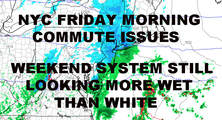
NYC FRIDAY MORNING COMMUTE ISSUES POSSIBLE
Good morning everyone. We’re approximately 36-40 hours out until the approach of our first wintry system here in the New York City and things are holding rather steady in my book. Meanwhile, models for the weekend continue to waiver back and forth, but the space in which they waiver are getting smaller and smaller.
EASTERN SATELLITE

For today, expect clouds and sun, a stiff wind developing as colder air heads in, highs in the mid to upper 30’s; maybe 40 if we’re lucky in spots. Overnight, that cold air makes its way in and we drop into the low 20’s for NYC proper, teens away from the heat island.
REGIONAL RADAR

Tomorrow, we’ll start off with sunny skies, then increasing clouds as the day goes on. It’s looking likely now that a weak system will spread light to maybe a few patches of moderate snow into the area between 10pm and 2am overnight tomorrow. Lows will be cold enough for snow to stick, then slightly rise before dawn.
Eventually, snow will turn to a mix but not before we get a coating to 2″, making Friday morning’s commute problematic for some; especially those who hit the road very early in the morning and if roads are not treated correctly.
Any mix turns to all rain before departing Friday late morning to early afternoon; and any snow on the ground will be gone as we climb into the upper 30 to low 40 realm.
LOCAL RADAR NEW YORK CITY

Slightly colder air moves in for Saturday behind the weak system as we watch the much larger one making its approach; highs in the low to mid 30’s.
Unless there are any significant changes in the models, and there’s still plenty of time for some changes since we’re still 4 days out, I think the NYC area is looking at a snow/mix to heavy rain to snow/mix event for late Saturday into Sunday night. Areas north and well west of the NYC metro area could get blasted with this one, seeing 12-18″+ amounts of snow.
Barring any big changes, I think the biggest issue for NYC is what’s behind the system and for those working on Martin Luther King Day. With frigid air working in very fast behind the storm, wet or slushy roads will become icy and crunchy, making Monday morning’s commute a big problem. Plus, highs will be in the upper teens to low 20’s for Monday.
LOCAL RADAR PHILADELPHIA


MANY THANKS TO TROPICAL TIDBITS FOR THE USE OF MAPS
Please note that with regards to any tropical storms or hurricanes, should a storm be threatening, please consult your local National Weather Service office or your local government officials about what action you should be taking to protect life and property.