NYC HOT CONDITIONS CONTINUE BEFORE TROUGH RETURNS
NYC HOT CONDITIONS CONTINUE BEFORE TROUGH RETURNS
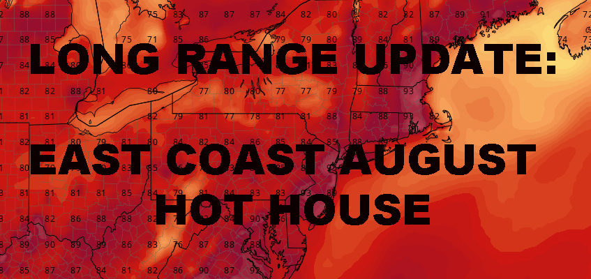
NYC HOT CONDITIONS CONTINUE BEFORE TROUGH RETURNS – Good hot morning everyone. We are now day 2 into our toasty block, which looks to go at least 4 days total as of this moment. Meanwhile, the big picture suggests we set up another trough, then heat tries to return in a big way; possibly making August hotter than July this go-around for 2018.
For today, look for searing sun, highs in the mid 90’s with oppressive humidity and poor air quality. Elderly people, those in poor health, and parents with young children should take proper precaution. We continue 90-95 temps tomorrow, but we add the slight chance of a pop-up strong thunderstorm. Most of the action should be inland as usual.
On Wednesday, we increase the cloud cover a bit, turn up the juice a little more, and add a few more storms around. Most of the action remains inland, but we could have a few storms drift our way once they build tall enough; highs in the low 90’s.
The heat looks to “break” Thursday, with “only” upper 80’s and the chance of some morning storms. Depending on how things go, I wouldn’t be surprised though if a few 90 degree marks pop up in some spots. Upper 80’s to near 90 continue for Friday as we continue to start our August on a textbook dog-day note.
Heading into next weekend, it’s possible our troughy pattern returns, with tropical conditions, mid 80’s, and scattered showers and storms. As of now, we’re not looking at any washouts; but it’ll be your staple partly sunny, warm, a slight chance of flooding, maybe a tornado. Again, most of the action would be more inland, but as the trough leaves and fizzles out, we will get in on the thundery stuff with big Florida rain drops.
Looking beyond next weekend, a ridge wants to try and build back again in a big way after our 3rd round of a trough-like pattern. If this happens, it could send temps roaring back into the 90’s for mid August. To add to the dynamic, having 90’s in mid-August, could also put us in record high territory,
EASTERN SATELLITE

REGIONAL RADAR

LOCAL RADAR NEW YORK CITY

LOCAL RADAR PHILADELPHIA


 GET JOE A CIGAR IF YOU LIKE
FiOS1 News Weather Forecast For Long Island
FiOS1 News Weather Forecast For New Jersey
FiOS1 News Weather Forecast For Hudson Valley
NATIONAL WEATHER SERVICE SNOW FORECASTS
LATEST JOESTRADAMUS ON THE LONG RANGE