

NYC Hot Forecast Collapses
Good morning everyone. We’re making changes here as systems are air masses get hung up due to the temporary impact Tropical Storm Fay had on the jet stream. We’re still expected a warm and humid day today with some strong storms lurking, and we still have a comfortable day tomorrow, but the heat doesn’t return very quickly.
SATELLITE

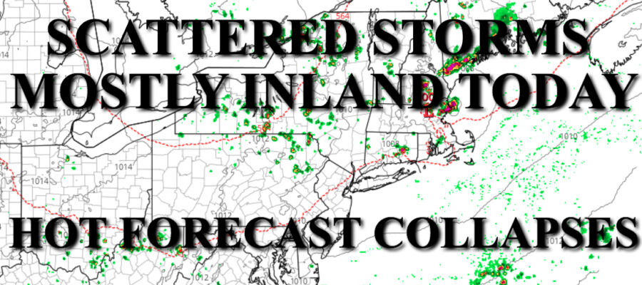
Expect clouds & sun today, with some strong storms popping up in the Northeast. Not everyone will see action, but it will be hefty. Highs today in the upper 80’s and humid.
REGIONAL RADAR

For tomorrow, dry air moves in and a light NW flow will get us to the mid to upper 80’s, but comfortable.
LOCAL RADAR NEW YORK CITY

We were thinking heat and humidity return Wednesday, but mid 80’s will stick around as will the dry conditions.
This trend will continue on Thursday with more comfortable weather and low to mid 80’s.
LOCAL RADAR PHILADELPHIA


Friday will be the day humidity returns with the chance of a few storms, but temps remain in the seasonal realm and in the mid 80’s.
Upper 80’s return for Saturday with some sunshine, and Sunday will be the day we push 90.
MANY THANKS TO TROPICAL TIDBITS FOR THE USE OF MAPS
Please note that with regards to any tropical storms or hurricanes, should a storm be threatening, please consult your local National Weather Service office or your local government officials about what action you should be taking to protect life and property.