NYC March Remains Active Medium Range Unimpressive
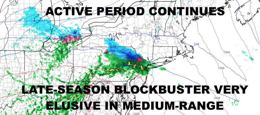
Good morning everyone. We have a beautiful but breezy day today and things seem tame going into the medium range forecast-wise. We do have plenty of systems around, but for those looking for a late-season blockbuster Ala March 1993 or 1888, it’s not looking very good.
SATELLITE

Expect sunshine, a stiff breeze, and highs in the 50-55 range today. Sunshine continues tomorrow, then we’ll have increasing clouds late; highs in the 50-55 range again.
Overnight tomorrow we’ll be watching a disturbance cross the area. Models are a little weird on this one, with both the GFS and the short range NAM depicting some snowfall for the area. The NAM tends to overdo things this time of year, especially when factoring in convection and cooling of the atmosphere, so we’re going to take it with a grain of salt, but keep the idea in the back of our heads. For the moment, we’ll be calling for a cold rain developing, exiting the area by early Tuesday. IF, and I mean IF, the wave gets a little spicy and convection is more intense, it could cool the atmosphere enough to change the cold rain into a rain/snow mix or wet snow. We’re going to hold off for now and see how the setup looks tomorrow.
Regardless, any AM mix or rain comes to an end Tuesday morning and we’re back into the mid 40’s with sunshine.
WEATHER RADAR

Wednesday and Thursday both look mostly sunny with a stiff breeze, and highs in the 45-50. Sunshine continues on Friday with highs near 50, then clouds increase again on Saturday with the chance of rain associated with our next system.

Overall, March is very March-like this go around, which isn’t good for those looking for a Hail-Mary final snowfall to round out the season and help “save” it. Expect a larch majority (if not all) to be rain-makers, followed by blustery and cool conditions.
BE SURE TO DOWNLOAD THE FREE METEOROLOGIST JOE CIOFFI WEATHER APP &
ANGRY BEN’S FREE WEATHER APP “THE ANGRY WEATHERMAN!
MANY THANKS TO TROPICAL TIDBITS & F5 WEATHER FOR THE USE OF MAPS
Please note that with regards to any severe weather, tropical storms, or hurricanes, should a storm be threatening, please consult your local National Weather Service office or your local government officials about what action you should be taking to protect life and property.