
Weather in 5/Joe & Joe Weather Show Latest Podcast
NYC Mild Air On Schedule But Rough Long Range Ahead
Good morning everyone. The ups and downs of typical March in NYC will be apparent in the next couple of weeks as we start off with cold and blustery conditions, then mild air next week, and an angry 3rd quarter of March down the road. Thus is the process of Spring in our area, and this year will be no different.
SATELLITE

Today we remain sunny, with a few wispy clouds possibly sneaking in late. Mid 30’s for highs are going to be a challenge, but we should get there in spots. Blustery conditions also continue through the evening, and those winds should “calm down” to a steady breeze overnight. Clear skies will help drop the temps into the mid 20’s for the NYC area, and some colder spots away from Gotham.
F5 WEATHER RADARS

We remain cold this weekend, but at least the winds slow down to a relative crawl. Sunshine and dry conditions continue, and expect highs in the 35-40 range.
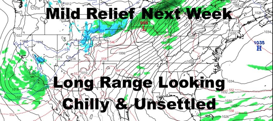
To start the week, we remain on the chilly side as highs Monday break 40 but not by much. Winds remain light and we go for low to mid 40’s at best.
The first chance of some mild air, the “mildest” air we’ve had so far this season, will be Tuesday through possibly Friday. Friday may be pushing it depending on cloud cover and/or some precip, but we have a chance nonetheless to hold onto it for an extra day. Tuesday through Thursday, expect highs in the 55-60 realm, cooler at the immediate shore, and maybe a few extra notches on Thursday with the right wind profile. If we get a bonus day Friday, expect upper 50’s to low 60’s, possibly warmer west of the NYC area. As stated yesterday, we’ll fine-tune each day depending on the sunshine and wind profile. It is certainly a possibility we go a touch warmer, but cooler temps are also possible if the marine layer fights back.

In the long range, we have an issue with colder air rushing back in after our taste of early spring. There is some internet buzz of snow chatter, but it is Wayyyyyyyyyyyyyy to early to talk snow 12-20 days out and that’s just insanity. However, regardless of whether we see flakes or not, there are signs that a more significant system will hang back after our mild taste ends, then head into the Northeast. Even if that system is not significant and does not produce snow, it is a marker for a temporary pattern change into a more active and colder period. This is where the human element and experience come into play, as opposed to reading the models in a literal sense that far out.
Even with the talk of a more active and colder period, the milder air fights back very quickly along the Gulf, Southwest, and Southeast. This means the pattern change will be relatively brief in the big scheme of things, and the gears of spring continue to turn.
Just remember, up here in NYC, “In Like a Lion, Out Like a Lamb” very rarely applies to our March. Its more like, “In Like a Lion, Out like An Angry T-Rex”, plus “April Showers Bring May Showers” here too.
Stay Tuned.
BE SURE TO DOWNLOAD THE FREE METEOROLOGIST JOE CIOFFI WEATHER APP &
ANGRY BEN’S FREE WEATHER APP “THE ANGRY WEATHERMAN!

MANY THANKS TO TROPICAL TIDBITS & F5 WEATHER FOR THE USE OF MAPS
Please note that with regards to any severe weather, tropical storms, or hurricanes, should a storm be threatening, please consult your local National Weather Service office or your local government officials about what action you should be taking to protect life and property.