
Weather in 5/Joe & Joe Weather Show Latest Podcast
NYC Mild Warm Workweek Begins Possible Cool Down Friday
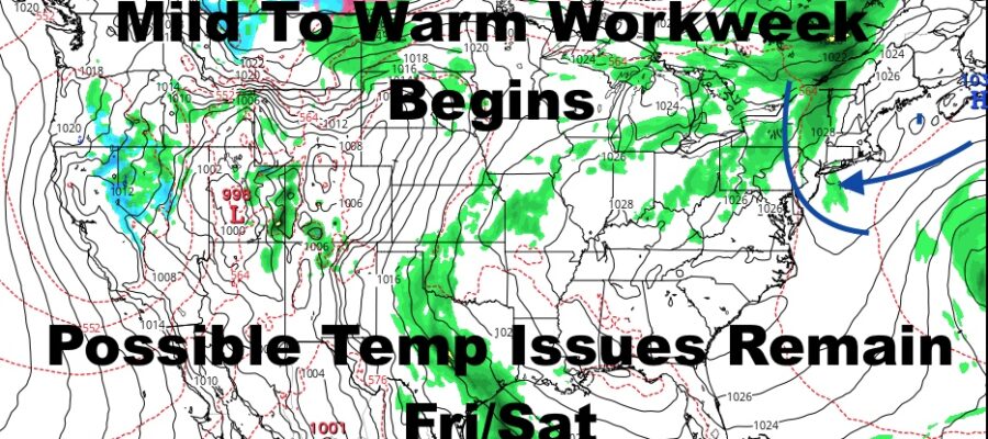
Good morning everyone. Our nice workweek has begun and the only issues I really see throughout this 5-6 day stretch, are some possible clouds today and a temperature dip Friday and Saturday. That’s about it as we remain fairly dry with a taste of 80’s midweek.
SATELLITE

Look for AM sun and PM clouds in response to a warmer airmass heading in. Think of it as a warm front, but without the rain or very low clouds. Highs today will be in the low to mid 70’s, cooler at the shore.
Tomorrow we go for full sunshine and highs in the upper 70’s to near 80. Wednesday and Thursday remains on schedule to be the peak of this warm airmass, with sunshine and low to mid 80’s Wednesday; then mid 80’s Thursday. Again, we’ll be cooler at the shore, and don’t be surprised if you see some upper 80’s to near 90 temps just to our west Wed/Thur.
Friday continues to be an issue in my book, and some of the automated outlets are starting to drift my way. While their cool-down went from mid 80’s to upper 70’s, I still see upper 60’s to low 70’s possible if the maritime air pushes back to its full potential. For the moment, I’ll meet the talking heads and my own instincts in the middle, and say mid 70’s for Friday (although the potential for a cooler day is there).
We’ll take it day-to-day and see if there is a repeat on Saturday.
BE SURE TO DOWNLOAD THE FREE METEOROLOGIST JOE CIOFFI WEATHER APP &
ANGRY BEN’S FREE WEATHER APP “THE ANGRY WEATHERMAN!

MANY THANKS TO TROPICAL TIDBITS & F5 WEATHER FOR THE USE OF MAPS
Please note that with regards to any severe weather, tropical storms, or hurricanes, should a storm be threatening, please consult your local National Weather Service office or your local government officials about what action you should be taking to protect life and property.