
Weather in 5/Joe & Joe Weather Show Latest Podcast
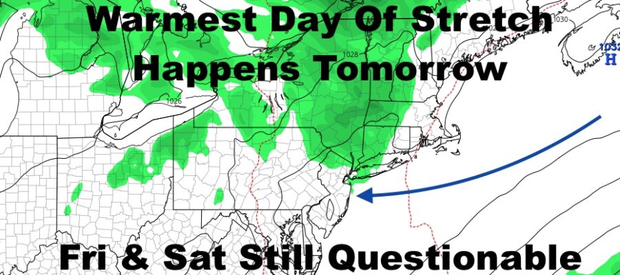
NYC Warmest Day Happens Tomorrow Plus Late Week Still Questionable
Good morning everyone. We have a beautiful, very mild/warm day today, then the warmest air of this stretch pays a visit tomorrow. That maritime air I’ve been cautioning about is on the move, and I think you’ll start seeing the signs on Thursday for Friday & Saturday. There will be a fine line as to who stays warm and who doesn’t, and I think Long Island will bear the biggest brunt of this temp drop.
SATELLITE

Sunny skies are here and we already have a little bit of a seabreeze developing here along south shore beaches of Long Island. However, most of the City will see upper 70’s to low 80’s today, as well as interior/north shore parts of Nassau and Western Suffolk. Expect cooler temps along the south shore and east end of Long Island.
For tomorrow, a light WNW flow will help boost those temps and it’ll be very warm & relatively dry. Look for 85-90 degree temps throughout the City, with the best chance of seeing or breaking 90 just west of the NYC area, downtown Brooklyn, and Queens north. Mid to upper 80’s will be common in the usual spots of Nassau and Suffolk, with cooler temps along the south shore and east end.
Thursday we begin to feel the changes that’ll unfold Friday and Saturday. Expect winds to shift to a NE, E, then SE flow. We’ll still stay relatively sunny throughout much of the day, then increasing clouds late. Low 80’s will hold on for the NYC area, but Long Island will begin to cool down to low to mid 70’s in many spots aside from central Nassau and west central Suffolk.
Expect more clouds than sun both Friday and Saturday, the slight chance of a sprinkle, and highs in the mid 70’s. This is a conservative figure as we may go cooler. 60’s and low 70’s will be common on Long Island, with low 60’s possible out east. We’ll keep an eye on it all and make adjustments as needed, plus we’ll also watch and see if the warmth can return on Sunday as the maritime flow eases up.
BE SURE TO DOWNLOAD THE FREE METEOROLOGIST JOE CIOFFI WEATHER APP &
ANGRY BEN’S FREE WEATHER APP “THE ANGRY WEATHERMAN!

MANY THANKS TO TROPICAL TIDBITS & F5 WEATHER FOR THE USE OF MAPS
Please note that with regards to any severe weather, tropical storms, or hurricanes, should a storm be threatening, please consult your local National Weather Service office or your local government officials about what action you should be taking to protect life and property.