
Weather in 5/Joe & Joe Weather Show Latest Podcast
NYC Much Cooler Weather Approaching
Good morning everyone. Our first fall cold front is making its approach today, bringing with it much cooler air for the remainder of the week. This will also spark off some scattered showers and storms, some of which may reach severe limits.
SATELLITE

We start off sunny today, then begin to cloud up as the day goes on. Look for the chance of some scattered showers, then a chance of evening storms. Not everyone is going to see the action, but for those who do, some of these storms may be fairly strong. The biggest threat today will be gusty winds. Highs will be a somewhat humid mid 70’s.
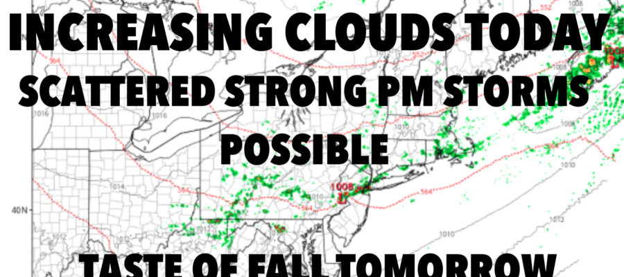
WEATHER RADAR

Sunshine is back tomorrow with a steady northerly flow. We’ll have highs in the mid to upper 60’s for a taste of early fall.
We’ll have a strong breeze develop for Thursday as high pressure begins to move in. Highs will be in the mid 60’s, then the wind calms down for Friday. Sunshine continues, and we’ll be in the upper 60’s with those lighter winds.

For your weekend, temps modify a bit for both Saturday and Sunday. Expect upper 60’s to low 70’s for Saturday, then near 70 temps for Sunday.
BE SURE TO DOWNLOAD THE FREE METEOROLOGIST JOE CIOFFI WEATHER APP &
ANGRY BEN’S FREE WEATHER APP “THE ANGRY WEATHERMAN!

MANY THANKS TO TROPICAL TIDBITS & F5 WEATHER FOR THE USE OF MAPS
Please note that with regards to any severe weather, tropical storms, or hurricanes, should a storm be threatening, please consult your local National Weather Service office or your local government officials about what action you should be taking to protect life and property.