DOWNLOAD MY NEW FREE JOESTRADAMUS WEATHER APP FOR ALL DEVICES
THE APP IS ABSOLUTELY FREE TO ALL BUT CONSIDERING SUBSCRIBING TO PATREON FOR A WEATHER EXPERIENCE FREE OF ADS, EXCLUSIVE VIDEOS FOR MEMBERS ONLY AND MUCH MORE…STARTS AT $2 A MONTH..MESSAGE ME AT ANY TIME
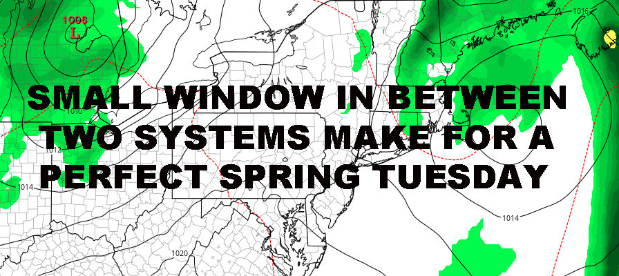
NYC PERFECT SPRING TUESDAY UNFOLDING
Good morning everyone. Stubborn low pressure is finally on the move, going into New England at a pace equal to Bugs Bunny and the Evil Scientist on ether. That’ll pave the way for a perfect spring day unless you’re the type of person who enjoys gloom and doom.
EASTERN SATELLITE

Early morning clouds, especially out east, will give way to full sunshine as we find ourselves sandwiched in between two systems. That’ll give us a light enough flow and big enough sunshine window to help warm things up nicely; then clouds will be on the increase again late. Highs today in the 70-75 realm in most areas aside from the immediate shore with the cool ocean water. Don’t be surprised if we pop past 75 in a few notoriously warmer areas, but it’ll remain comfortable and dry with low humidity.
REGIONAL RADAR

Overnight tonight, clouds will lower and thicken, with the slight chance of scattered showers as a weak system transits through. I think we get this thing out of here fast enough, to give us just some morning clouds tomorrow with afternoon sun. If that’s the case, expect a breezy 65-70 in most spots, even to the shore.
That’ll also pave the way for a nice Thursday as well, with sunny skies early, increasing clouds late, and lighter winds. Highs 65-70, except the immediate shore as winds switch around more southerly and off of the cooler water.
LOCAL RADAR NEW YORK CITY

Those increasing clouds represents yet another system heading in and we could have a shower or two starting between 10pm-2am overnight Thursday; then the chance of a showery day on Friday. Even so, we remain average temp wise and in the low to mid 60’s.
That system will bring in some seasonably cooler air and so far Saturday is looking sunny, breezy, and in the low 60’s. For Sunday, I’m holding off to keep an eye on the timing of our next system; which could be fairly vigorous, yet may represent the one which changes the pattern to relatively less gloom overall.
LOCAL RADAR PHILADELPHIA


MANY THANKS TO TROPICAL TIDBITS FOR THE USE OF MAPS
Please note that with regards to any tropical storms or hurricanes, should a storm be threatening, please consult your local National Weather Service office or your local government officials about what action you should be taking to protect life and property.