NYC Pleasant Day Before Hot Stretch Begins
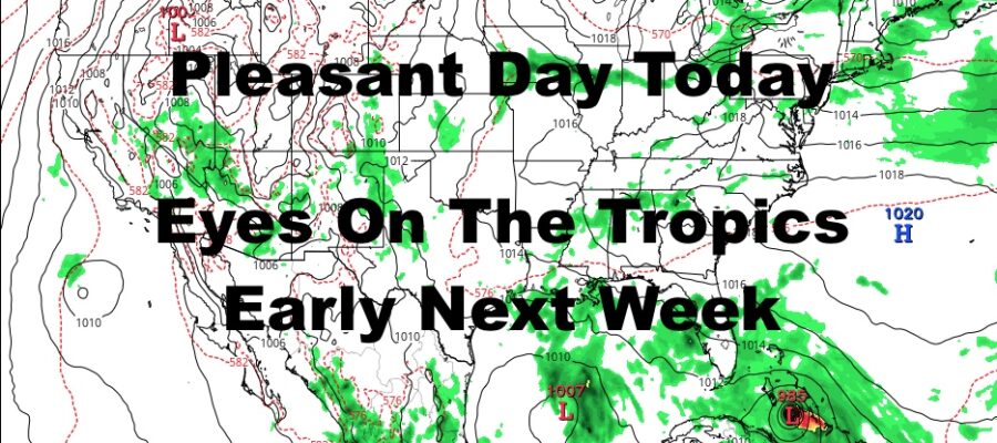
Good morning everyone. We have one of the nicest days we’ve had all summer today if you enjoy low humidity, cooler temps, and sunny skies. That’ll all begin to change tomorrow as the heat fights back fairly hard for 1 more stretch this summer; then eyes turn to the tropics early next week for what will be Tropical Storm/Hurricane Laura.
SATELLITE

Sunny skies, low humidity, a light breeze, and near 80 temps dominate today for a perfect break before summer gives us another stretch of heat.
We won’t be oppressively hot tomorrow, but the humidity will begin to creep up, and we will recover back into the mid 80’s for a fairly warm day.
REGIONAL RADAR

Deep summer returns for your weekend, with upper 80’s to near 90 temps & high humidity both Saturday and Sunday. We’ll have a slight chance of a PM storm Saturday, but the “best” chance is Sunday as a weak cold front approaches.
LOCAL RADAR NEW YORK CITY

That cold front won’t do much if anything at all, so expect near 90 to even low 90 temps to visit the area Monday through Wednesday. Beyond Wednesday (or maybe Wednesday), temps & conditions hang on where Laura will be and what she does, which I explain below. If Laura stays away from here Wed & Thur, we could achieve near 90/low 90 temps Sat/Sun through Thursday to cap off our summer season.
LOCAL RADAR PHILADELPHIA


Right now in the Tropics, we are watching 1 depression and 1 disturbance. The disturbance will likely enter the gulf from the Yucatan/Cuba and remain a weak low pressure system. However, our depression is poised to become TS Laura, and possibly a hurricane IF it can avoid some landmass.
Right now, the projected path takes it along the northern fringe of the Caribbean Islands, and we play the game to see how much it interacts with Hispanola and Cuba. Regardless, we’ll be watching things closely as it nears the Cuba/Florida region some time between Monday and Tuesday.
Where it goes after is anyone’s guess and it’s way too early, but the Gulf & East Coast/Inland need to watch closely.
MANY THANKS TO TROPICAL TIDBITS FOR THE USE OF MAPS
Please note that with regards to any tropical storms or hurricanes, should a storm be threatening, please consult your local National Weather Service office or your local government officials about what action you should be taking to protect life and property.