NYC Quiet Christmas Before Activity Returns
Good morning everyone. We have a very quiet period ahead of us aside from those dealing with the after-effects of our big storm in the form of rivers and streams cresting. This will remain an issue for the next 24-48 across areas of NJ, PA, upstate NY, and parts of New England, then we are calm everywhere up and down the East Coast. Quiet and seasonably chilly weather will take us all the way to Christmas, where we’re actually expecting a very comfortable and dry day considering what it could be.
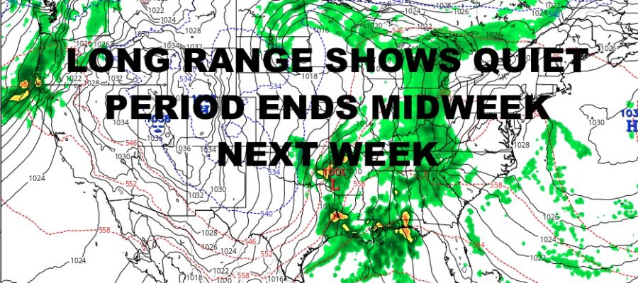
After that, we begin to watch the genesis of our next system, and this one could be on the fairly large size as well. I don’t think we see an exact repeat of what we just saw, but as my mentor says, “the pattern rhymes”. We’ll be watching two sets of energy again, one coming out of the Rockies and into the Mid West, and the other along the Gulf. I do not believe this will be a primarily-sourced Gulf Low like the last one, but those two pieces of energy want to phase again.
Where and when is too early to tell, but at minimum, we do not that our quiet period ends sometime next week. Just like the last storm, we will be methodical about this and take it day by day as we see how this one will play out. We also have a colder component to this, so we may be talking about rain/snow lines as this system departs.
Here is your quiet local forecast below and we’ll take you into Christmas Day –
SATELLITE

We’ll have a mix of sun and clouds today, with temps dropping as the day goes on. Low 40’s will fall through the 30’s, and we might have a widely scattered sprinkler flurry. Overnight we go cold with 25-30 degree temps.
Tomorrow is looking seasonably tame, with sunshine and highs in the mid 40’s.
WEATHER RADAR

Thursday is another winner for this time of year, with sunshine and seasonably chilly temps in the low 40’s. Friday looks to be the coldest day of the bunch, with highs 35-40 and more sunshine.

Christmas Weekend is looking fairly quiet. We’ll have mix of sun and clouds Saturday as a weak disturbance passes to our north. We’ll have highs in the low 40’s with the slight chance of a sprinkle or flurry. Christmas Eve Day and Christmas Day are looking like absolute winners. Expect sunshine and highs in the mid to upper 40’s each day.
BE SURE TO DOWNLOAD THE FREE METEOROLOGIST JOE CIOFFI WEATHER APP &
ANGRY BEN’S FREE WEATHER APP “THE ANGRY WEATHERMAN!
MANY THANKS TO TROPICAL TIDBITS & F5 WEATHER FOR THE USE OF MAPS
Please note that with regards to any severe weather, tropical storms, or hurricanes, should a storm be threatening, please consult your local National Weather Service office or your local government officials about what action you should be taking to protect life and property.