NYC Seasonably Warm Week With Some Rain
Good morning everyone. Seasonably warm has seemingly settled into the Northeast and things are looking good for now. We have a bout of rain on Thursday, as well as the chance of an isolated shower or storm Wednesday, Friday, and Saturday; but overall we are looking pretty good. This is usually the time of season where we get a cut-off low parked in the area, but it has held off so far. That being said, we could get a “late bloomer” late next week as low pressure meanders down from the Great Lakes and has a hard time getting out.
At this point in the game for the Midwest, Mother Nature has simply become insulting with this onslaught of severe weather and flooding thunderstorms. We’re watching yet another complex of heavy showers and storms, including localized severe weather, row over the same exact areas that were hit last night by a very strong squall line.
Think we’ve had enough? Wait, there’s more.
Heavy showers and storms are heading through southeast Oklahoma, northeast Texas, southwest Arkansas, and now entering northwest Lousiana; where flash flood watches are posted throughout this area because the land simply can’t abosrb anymore water. Flooding has become a widespread issue in the region, where just months ago they were facing a severe drought.
The worst part is that the region isn’t through yet, and we’re expecting a new round of severe weather later today and into the overnight hours. We’ll start off “small” later this afternoon and evening, with spotty severe weather ranging from Minnesota, Iowa, Nebraska, Missouri, and Kansas.
Once again, things will organize into several multi-directional lines that’ll hit Kansas and Oklahoma hard with widespread severe weather; then spread out into Missouri, Arkansas, Texas, and Louisiana as the night wears on. The counties hit last night and currently in TX, OK, AK, and LA, will be the same ones hit later and tonight. Look for the risk of large hail, damaging winds, frequent lightning, and the risk of isolated strong tornadoes.
Stay tuned to your local agencies for the latest watches and warnings. Do not proceed through standing water with your vehicles or try and trek through moving water. Here is your local NYC Metro Forecast –
SATELLITE

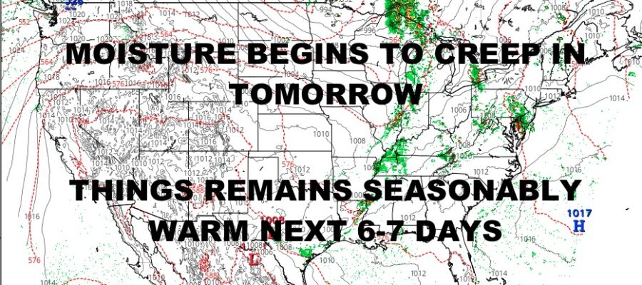
Sunshine rules the roost today as does low to mid 80’s for a perfect day. Moisture begins to creep in tomorrow, and it’ll come first in the form of AM fog. then a mix of sun & clouds. We’ll also have the chance of a late PM shower or storm. Highs near 80.
WEATHER RADAR

Near 80 temps continue on Thursday, but it’ll be mostly cloudy with on & off showers. We’ll see some sun & clouds on Friday, 80’s continue, and the chance of a PM shower or storm.

The PM shower or storm theme continues into the weekend, with sun & clouds and near 80 temps.
BE SURE TO DOWNLOAD THE FREE METEOROLOGIST JOE CIOFFI WEATHER APP &
ANGRY BEN’S FREE WEATHER APP “THE ANGRY WEATHERMAN!
MANY THANKS TO TROPICAL TIDBITS & F5 WEATHER FOR THE USE OF MAPS
Please note that with regards to any severe weather, tropical storms, or hurricanes, should a storm be threatening, please consult your local National Weather Service office or your local government officials about what action you should be taking to protect life and property.