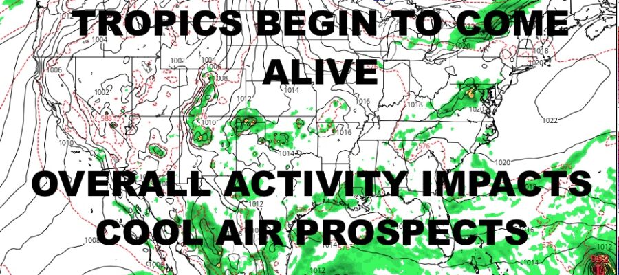
NYC Tropics Heat Up Impacting Cooler Air
Good morning everyone! We have a decent week coming up, but we will be making adjustments in order to compensate for busier tropics in the Gulf and out in the Atlantic. Cooler air won’t be as cool as expected, but we did talk about the tropics getting busier and that’s coming to fruition.
SATELLITE
First we have the immediate forecast, which is looking as warm and humid as expected. Morning clouds will give way to sunshine today, with increasing humidity and highs in the mid 80’s. Lows overnight will only dip into the mid 70’s as August holds on tight to its “dog days”.
A weak front will approach the area tomorrow, but skies remain mostly sunny. It’ll also remain warm and humid with highs in the mid to upper 80’s. We’ll have the slight chance of a popcorn shower or storm, with most of the action staying inland. Lows overnight remain in the mid 70’s, but a wind shift will begin to change things slightly as far as humidity.
WEATHER RADAR
Wednesday is looking very warm as dry westerlies will help boost the temps back into the mid to upper 80’s, but we are less humid. Thursday and Friday are gems with low humidity, mid 80’s for Thursday, near 60 lows overnight; then low 80’s for Friday under full sunshine.
The bad news is that very warm/hot conditions return for the weekend as tropical gulf moisture (no organized storms) and tropical activity in the Atlantic (possible organized storm) bump things back west as far as warmer and more humid air. We’ve seen this play out before, where cooler air is expected, but we wind up soupier than ever due to a pushback of tropical air & activity.
Look for increasing humidity on Saturday with mid to upper 80’s, then near 90 temps on Sunday. Labor Day may be a repeat of Sunday, with hot and humid conditions. We’ll also watch the tropics very closely as front timing will be crucial if anything nears, plus I’ll be watching old/weak fronts for any hypothetical tropical development in the NE Gulf/SE Coast.
BE SURE TO DOWNLOAD THE FREE METEOROLOGIST JOE CIOFFI WEATHER APP &
ANGRY BEN’S FREE WEATHER APP “THE ANGRY WEATHERMAN!
MANY THANKS TO TROPICAL TIDBITS & F5 WEATHER FOR THE USE OF MAPS
Please note that with regards to any severe weather, tropical storms, or hurricanes, should a storm be threatening, please consult your local National Weather Service office or your local government officials about what action you should be taking to protect life and property.


