NYC Windy Thanksgiving May Cause Balloon Issues
Good morning everyone. Our forecast is holding steady with just a slight tweak in the Thanksgiving Day forecast. It’ll be a slight adjustment in the temperature, but unfortunately not the wind. We’ve discussed this windy day for a week now, and it may rise to the level in which the balloons do not fly, or are lowered dramatically to reduce problems.
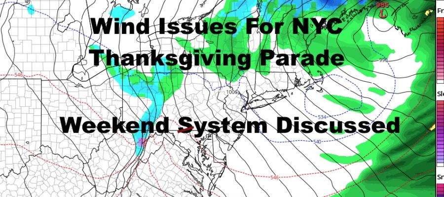
We also have some social media hysteria brewing for our next system for the weekend, and I work to clear a few things up on that.
SATELLITE

First and foremost, we have a gorgeous day brewing in our area. Look for light winds, sunny skies with a few clouds dotting the area at times, and highs in the upper 50’s to low 60’s.
REGIONAL RADAR

Clouds will begin to creep in late tonight, but the transformation won’t fully be complete until tomorrow. We could still wake up to a few blue patches, then cloud up and see a few scattered showers from late morning, onward. There won’t be a full washout or anything heavy, but keep in mind we could see some periods of showers as our next cold front passes by.
LOCAL RADAR NEW YORK CITY

Unfortunately that brings us to Thanksgiving on Thursday. The only bright spot will be the high temps for the day, in which cold air lags just enough where we go for upper 40’s to near 50. However, the wind will be a big issue, especially for parade time. Temps in the 30’s initially, with strong gusty winds, will help it feel very cold on the skin, as well as hindering or cancelling the balloons.
Usually, the threshold for the ballon display is 23 mph sustained, and we are looking at 20-25mph sustained winds with gusts to near 40. I’ve seen them lower the balloons to reduce drag from the stronger winds aloft, but they’ll have to make the call that morning to see if they’ll fly.
LOCAL RADAR PHILADELPHIA


On Friday, that colder air fully works its way in. Expect low to mid 40’s both Friday and Saturday with dry conditions. Clouds will increase on Saturday with our next system, and we’ll have to wait for tomorrow’s system to pass and Friday’s cold air to work itself in, to see what kind of atmosphere our Weekend system has to work with.
As of this very moment, I do not see a major issue for the NYC/Long Island area. The type of system our models are showing, is very complex and very difficult to create winter storm conditions for our area. There are too many variables, too many things that have to go right, and the path is not optimal.
We could see some onset frozen or mixed precipitation late Saturday night/very early Sunday morning, then change to rain if we got any wintry precipitation at all. Then on the back end as things pull away, we could see another brief round of mixed precipitation or a fleeting shot of wet snow. Again, we may not see anything at at all and the timing would have to be perfect on both ends, plus strength on the back end, to create conditions favorable for a mix or some wet snow.
Unless I see any major changes, I’m not feeling it right now and this is why I haven’t discussed it. One of my least favorite things to do, is to discuss a system behind a system, because there’s so many changes and so many things that’ll happen before our second system even comes into the picture.
Stay tuned.
MANY THANKS TO TROPICAL TIDBITS FOR THE USE OF MAPS
Please note that with regards to any tropical storms or hurricanes, should a storm be threatening, please consult your local National Weather Service office or your local government officials about what action you should be taking to protect life and property.