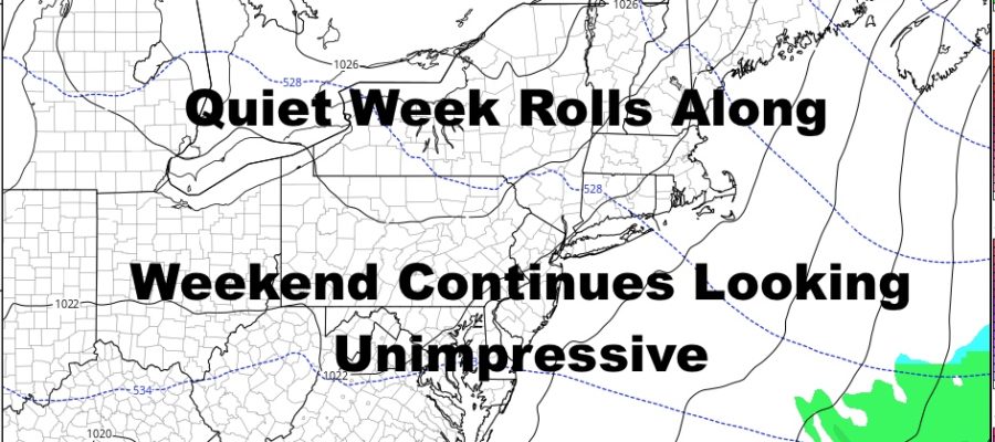
Quiet Week Rolls Along Plus Weekend Continues Looking Unimpressive For NYC
Good morning everyone. Our quiet and seasonably cool week marches down the road here with not much to speak of today through Friday. Our weekend system continues to hang on by a thread in the eyes of a few models, but others remain in disagreement. We’ll put the models aside and talk about my own gut feeling on this whole thing.
SATELLITE
Clouds remain stubborn in the area but we should get some peeks of sun in. Look for a steady NW flow and highs in the mid 40’s. The wind will help make it feel more like 20’s and 30’s throughout the day. Overnight, chillier air heads in and we should see some mid to upper 20’s as lows.
REGIONAL RADAR
Tomorrow, full sunshine returns but the steady wind remains. We’re not talking about a windy day here, but a steady NW flow will keep things feeling colder than they really are. Highs tomorrow low 40’s, and mid 20’s overnight as lows.
LOCAL RADAR NEW YORK CITY
Thursday and Friday remain quiet, with Thursday being the colder of the two. We’ll keep the sun around for Thursday with highs in the near 40 range, then increase the clouds with low 40’s Friday.
LOCAL RADAR PHILADELPHIA

For our weekend, I remain skeptical for several reasons as far as getting a major storm up here into the NYC area. Take the system out of the picture, and our first problem is lack of cold air. We could in fact get a snowstorm in the area without cold air, but you would need very strong low pressure to pull cold enough air down and into the system to create the right conditions. It’s happened, but our low is looking too weak to pull off anything major.
Lastly, speed….whether our system slips to our south without a whimper, brushes us, or sets up “perfect”, its in and out. Take all of that, and we’re still dealing with an unimpressive low (at least when it’s near us), that’s fast moving, and a lack of cold air. This should equate to a quick event, a “light” event, if any event at all.
MANY THANKS TO TROPICAL TIDBITS FOR THE USE OF MAPS
Please note that with regards to any tropical storms or hurricanes, should a storm be threatening, please consult your local National Weather Service office or your local government officials about what action you should be taking to protect life and property.


