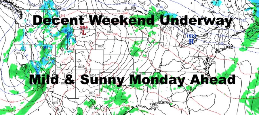
Low Pressure Pulls Away To Let Decent Weekend & Mild Monday Happen
Good early morning everyone. If you’re up as early as me, and I should hope not, we have a cloudy and breezy time before the sun rises. Things should begin to clear out slowly and winds will lighten up as we go on. Our pattern continues to be fast moving, and there remains no sustained very mild air in the forecast; just a day here and a day there.
SATELLITE

After morning cloudiness, we could see a patch or two of blue as the day wears on and clouds thin out. Gusty northerlies will go light, and we should see mid to upper 50’s as highs depending on those blue patches.
REGIONAL RADAR

Clouds remain on Sunday, and we should see some blue patches again. Expect highs in the 55-60 range, and again, sunshine dependent.
LOCAL RADAR NEW YORK CITY

Monday will be the best day of the week as high pressure settles in temporarily and pushes everything out. Light NNW winds will help set up that sinking air factor we like to see this time of season. That should foster some sunshine and mild temps all the way to the shores with highs in the 65-70 range.
Tuesday we cloud up slowly again with near 60 temps remaining, then we could see a few showers Wednesday with more cloudiness.
LOCAL RADAR PHILADELPHIA


Our fast moving pattern continues, with another system possible Friday with some rain, and then a cool-off back into the mid 50’s. This April loves mid 50’s for some reason, and we’ll probably see more of it until the pattern begins to slow down.
MANY THANKS TO TROPICAL TIDBITS FOR THE USE OF MAPS
Please note that with regards to any tropical storms or hurricanes, should a storm be threatening, please consult your local National Weather Service office or your local government officials about what action you should be taking to protect life and property.