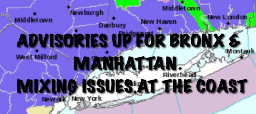
MANHATTAN BRONX SNOW COASTAL MIXING ISSUES
MANHATTAN BRONX SNOW COASTAL MIXING ISSUES
MANHATTAN BRONX SNOW COASTAL MIXING ISSUES – Good morning everyone. An already complicated forecast has become even more complicated as our question about whether a wave develops or not is answered; it develops, but “too close” instead of too far.
Add into the mix, cold air that modified much quicker than expected, and you have yourself a blown forecast of some sorts. Luckily we’re on it before it happens so we’re not asking ourselves “where did all of the snow go?”.
Now for the complicated part. Today will be cloudy and raw all day with no precip, highs in the mid 30’s with a damp east wind. Overnight in Manhattan on north, snow will begin after midnight. For areas south and east of Manhattan, precip starts out as snow, then a mix of rain and snow as this compact wave develops and brings in slightly warmer air.
Unless anything changes with the rain/snow line, it looks to be all snow for Manhattan and the Bronx. Any snow that turned into a mix, should change back to snow before ending in parts of Brooklyn, Queens, Staten Island, and Long Island.
Areas that do see a mix, should still see their 1-3 inches of snow (slush), but it’ll come in piece-meal and will be hard to measure as what initially falls, melts, then has a hard time accumulating on the wet surfaces. As far as Manhattan is concerned, if the rain/snow line stays steady, look for 2-4” of snow, and 2-4” with possibly locally higher amounts in the Bronx.
This is an extremely tricky forecast and confidence is low that it even winds up this way. If the wave develops 5-10 miles further west, Manhattan and the Bronx will be in the same boat as us, and virtually no snow for the rest of NYC/LI. If it doesn’t develop at all or develops further east, the rain/snow line changes and we could all see a general 1-3” with no mix.
So instead of a forecast, this has become a “nowcast” and we have to watch how it all unfolds. I think Someone is in for a surprise, but it might not be the surprise you want or the surprise expected.
I think we’ll have a mix for many between a cheap thrill, slushy thrill, and “where’s my snow?” disappointment.
NATIONAL WEATHER SERVICE SNOW FORECASTS
LATEST JOESTRADAMUS ON THE LONG RANGE
Weather App
Don’t be without Meteorologist Joe Cioffi’s weather app. It is really a meteorologist app because you get my forecasts and my analysis and not some automated computer generated forecast based on the GFS model. This is why your app forecast changes every 6 hours. It is model driven with no human input at all. It gives you an icon, a temperature and no insight whatsoever.
It is a complete weather app to suit your forecast needs. All the weather information you need is right on your phone. Android or I-phone, use it to keep track of all the latest weather information and forecasts. This weather app is also free of advertising so you don’t have to worry about security issues with your device. An accurate forecast and no worries that your device is being compromised.
Use it in conjunction with my website and my facebook and twitter and you have complete weather coverage of all the latest weather and the long range outlook. The website has been redone and upgraded. Its easy to use and everything is archived so you can see how well Joe does or doesn’t do when it comes to forecasts and outlooks.
Just click on the google play button or the apple store button on the sidebar for my app which is on My Weather Concierge. Download the app for free. Subscribe to my forecasts on an ad free environment for just 99 cents a month.
Get my forecasts in the palm of your hand for less than the cost of a cup of Joe!


