NYC Cloudy Raw Drizzly Day Mild Sunny Monday Ahead
Good morning everyone. We have a pretty nasty day unfolding here today as far as a raw factor, but at least we are not getting hammered by a blizzard. Our snow-hostile pattern continues, and it looks to continue into at least mid February at this point.
SATELLITE

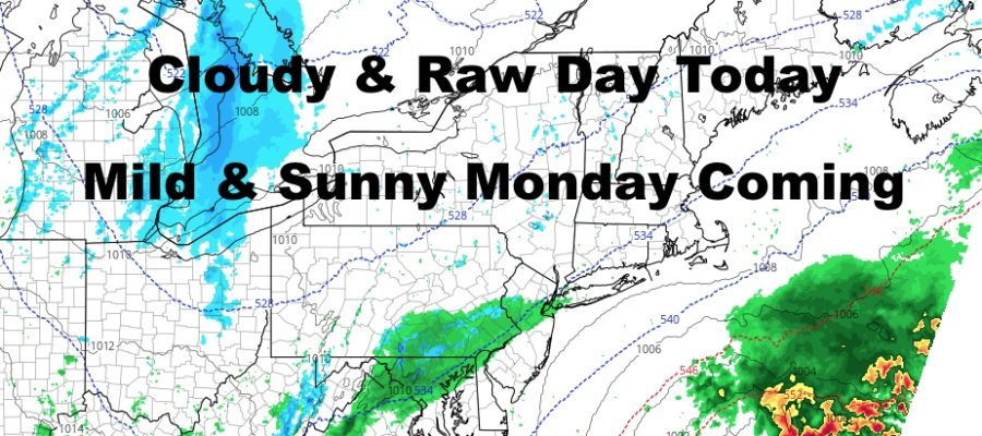
For today, low pressure scoots to our south and energy coming out of the Ohio Valley combine to give us a cloudy & raw day. We’ll have the chance of patchy fog and drizzle all day, with highs in the low to mid 40’s.
REGIONAL RADAR

Everything pulls away slowly tomorrow, and an approaching boundary of mild air will help keep clouds in the area; so look for partial clearing, but not all the way into full sunshine. Highs tomorrow will be in the mid 40’s and we’ll have a dry day.
LOCAL RADAR NEW YORK CITY

Monday is the nicest day of the week with full sunshine and highs in the low to mid 50’s. I’m remaining conservative and staying away from the 60’s, but I do think we get enough mild air in here to keep us out of the 40’s except for the south-facing shorelines and eastern Long Island. Look for upper 40’s to low 50’s there depending on the final wind profile.
LOCAL RADAR PHILADELPHIA


Clouds increase Tuesday as a large, piece-meal system heads our way. We’ll keep it dry Tuesday, but it’ll end off on a cloudy note and highs in the low 50’s.
On and off rain moves in for Wednesday, then a frontal system stalls out over us or off to our west. Waves will move along this frontal system, giving us periods of rain through at least Friday I think. As far as timing is concerned for the precip, we’ll take it as it comes but expect a rainy Wednesday at minimum.
MANY THANKS TO TROPICAL TIDBITS FOR THE USE OF MAPS
Please note that with regards to any tropical storms or hurricanes, should a storm be threatening, please consult your local National Weather Service office or your local government officials about what action you should be taking to protect life and property.