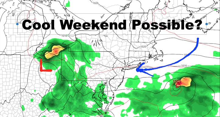
NYC Cool Weekend Possible Plus Tropical Atlantic Flares Up
Good morning everyone. We still have some hot weather left for today and tomorrow, then we go warm and humid as moisture and clouds along the east coast begins to suppress those 90’s. Our weekend has the potential to be cool, and we are watching a new disturbance in the Atlantic between Cape Verde & the Leewards. Let’s break it all down for you.
SATELLITE

We’re starting off today with the skies a little milky as a patch of clouds has drifted over the area. Those should give way to sunshine, and we should have another hot one in the 90-95 range; cooler at the immediate shore.
REGIONAL RADAR

Tomorrow, we’ll increase the moisture for a chance of some scattered showers & storms. Depending on the amount of sunshine, we should see upper 80’s to low 90’s, and some of those storms could be on the heavy side.
More moisture and clouds enter the picture for Thursday and Friday. We may still see a few upper 80’s on Thursday depending on the sunshine, but scattered showers and storms may be lurking. Friday we cool off a bit further and most of the area should see low to mid 80’s. That being said, the dew points and humidity are going to be high, so don’t expect anything refreshing with this low 80 talk.
LOCAL RADAR NEW YORK CITY

Your weekend right now looks questionable to me. Some outlets are calling for a sunny and slightly below average Saturday and Sunday temp-wise. I’ll bite on the temps, but the weekend has the chance of being a little bit unsettled. We’ll have to see what these small waves of low pressure do and if enough maritime high pressure is able to suppress the moisture.
For the time being, I’m going to call for more clouds than sun both Saturday & Sunday, chance of a few showers (no washouts), stiff easterlies, and highs in the upper 70’s to near 80. We’ll make adjustments as needed, but I don’t think the forecast is as simple as it’s being presented right now.
LOCAL RADAR PHILADELPHIA


In the Tropical Atlantic, we have an area of low pressure that should quickly become Tropical Storm Josephine. Upper level winds are favorable, shear is non-existent, and it’s over a historically good spot for development this time of year. We’ll start playing the game again over the next several days in terms of watching the Caribbean and who needs to keep a close lookout.
MANY THANKS TO TROPICAL TIDBITS FOR THE USE OF MAPS
Please note that with regards to any tropical storms or hurricanes, should a storm be threatening, please consult your local National Weather Service office or your local government officials about what action you should be taking to protect life and property.