NYC Delicate Dance Between Raindrops Remains In Play
Good morning everyone. We have a simply beautiful and seasonal day today unfolding here in the NYC area. Meanwhile, an active pattern continues, but we luck out for now with the timing; let’s see how long that luck lasts.
SATELLITE

Expect sunny skies and a breezy morning today. Winds should subside somewhat as the day goes on and a light northerly flow will keep things in the average realm today. Average highs this time of year are around 72 degrees, and we should see 70-75 in the entire area today.
REGIONAL RADAR

Clouds will begin to creep in tonight as energy begins to dip down from the Great Lakes region. This might touch off a shower or two with sun and clouds tomorrow, but we remain seasonal. Our highs will be in the 70-75 realm again, but we increase the humidity.
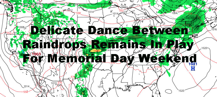
Overnight Thursday, a fairly vigorous wave passes well to our north. There could be enough energy to touch off some hefty nocturnal thunderstorms, especially upstate. We’ll see if some of those can make it down into the area, so for now we’ll keep a slight chance of showers and storms in the area overnight tomorrow.
LOCAL RADAR NEW YORK CITY

For your holiday weekend, Friday and Saturday remain looking like a homerun; with clearing skies Friday, breezy and very mild; highs 75-80. We cool of a bit Saturday, but keep sun in the forecast for at least most of the day; highs 70-75.
Saturday night, another system approaches, possibly bringing us some showers overnight. If we can get everything fully out the area and nothing gets hung up in terms of clouds, Sunday will wind up being the warmest day of the holiday weekend, with highs 80-85 possible. We’ll keep an eye on that as we may have to adjust things.
Monday remains the biggest question as another area of disturbed weather tries to transit the area. None of these systems are very well organized and contain generally light precipitation (except for Thursday night), so don’t expect pouring rain all day like a few weeks ago. For now, I’m going to call on Monday sun and clouds, a slight chance of scattered light showers; highs 75-80, which may need adjusting.
LOCAL RADAR PHILADELPHIA


In the long range, we continue with this active pattern and see how timing works out each time for precipitation. We also continue to trend average temp-wise for the most part, with a day here and there of above average and slightly below average temps.
MANY THANKS TO TROPICAL TIDBITS FOR THE USE OF MAPS
Please note that with regards to any tropical storms or hurricanes, should a storm be threatening, please consult your local National Weather Service office or your local government officials about what action you should be taking to protect life and property.