DOWNLOAD MY NEW FREE JOESTRADAMUS WEATHER APP FOR ALL DEVICES
THE APP IS ABSOLUTELY FREE TO ALL BUT CONSIDERING SUBSCRIBING TO PATREON FOR A WEATHER EXPERIENCE FREE OF ADS, EXCLUSIVE VIDEOS FOR MEMBERS ONLY AND MUCH MORE…STARTS AT $2 A MONTH..MESSAGE ME AT ANY TIME
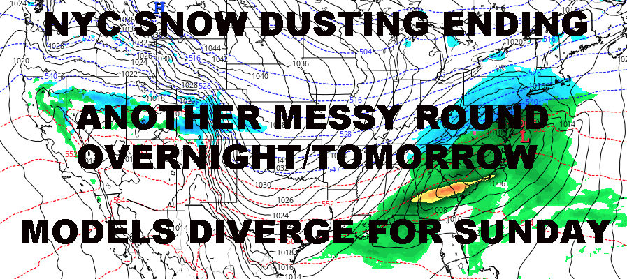
NYC DUSTING ENDING SUNDAY SYSTEM MODELS DIVERGE
Good morning everyone. We have a dusting ongoing as we speak in the NYC area which will be coming to an end shortly. Then we await system #3 tonight into tomorrow that’ll bring another chance of some snow/mixed precipitation; and just for good measure, the models for Sunday’s system diverge, with the GFS painting a snowy picture, and the short range NAM painting a sloppier/wet picture.
EASTERN SATELLITE

Very light snow departs by 8-9am for the NYC area, later the more east you go. Expect a dusting to a coating in most places. Highs today in the mid 30’s and light, raw, easterlies.
Our next system tonight is more dynamic and more vigorous, but very compact and a fast-mover as well. We’ll be watching the radar closely for any changes, but for the moment, expect a mix of rain and snow later tonight to turn into snow/sleet overnight. As we head into the morning, any snow and sleet will once again mix with again mix with rain before departing between early to mid-afternoon; highs in the upper 30’s to low 40’s.
With this system, this one has the potential to give us a surprise either way (more rain or more snow) due to it’s dynamics and compactness. This is why we’ll be watching things very closely. For now, we will keep things in the middle and hold snow/sleet accumulations to 1-2″ for most of the area, less along the immediate south-facing shores.
REGIONAL RADAR

For the big elephant in the room on Sunday/Monday, models diverge and make things even more complicated. The GFS shows a flatter/weaker look, with low pressure skipping to our south rather quickly, but creating an all-snow event here in the NYC area. This scenario, if it were to play out exactly, would give the area a general 3-6″ dose of snow; more than we’ve had all season, but still light to moderate in the big scheme of things.
The NAM gives our low a much more vigorous idea, with snow turning to heavy rain in the NYC area, and heavy snows for a brief period for interior parts of the Tri-state and New England.
Either way, they both have this system moving out quickly, but different ideas of how it happens. Everything hangs on the actions of tonight and tomorrow’s system in terms of Sunday’s system’s fate. I know people want definitive answers right now, but that would be irresponsible.
LOCAL RADAR NEW YORK CITY

Regardless of what happens, we go cold, dry, and quiet Monday afternoon through Friday, then the system parade begins again for next weekend. A break some-time Mid-March remains viable as the gears of spring continue to turn, with Old Man Winter trying to land a few fleeting jabs before the fight is over.
LOCAL RADAR PHILADELPHIA


MANY THANKS TO TROPICAL TIDBITS FOR THE USE OF MAPS
Please note that with regards to any tropical storms or hurricanes, should a storm be threatening, please consult your local National Weather Service office or your local government officials about what action you should be taking to protect life and property.