NYC FRIGID PLUS SNOW EXPECTED
WINTER WEATHER ADVISORY NYC
FRIGID PLUS SNOW EXPECTED
NYC FRIGID PLUS SNOW EXPECTED – Good morning everyone and welcome to the arctic circle, or at least it feels like it. The frigid weather is upon us, but if you’re not a Polar Bear, the good news is that it’s short-lived. However, it comes at the price in the form of snow; more on that in a minute. For today, expect temps to dip into the low teens and we combine this with a high wind warning, creating a wind chill factor of near 0 at times. This type of cold is very dangerous and don’t venture out unless you have to. If traveling by car, you should always have a winter emergency kit in your car in case it gets disabled – road flares, flashlight, fluids, snacks, and blankets to keep you warm until help arrives.
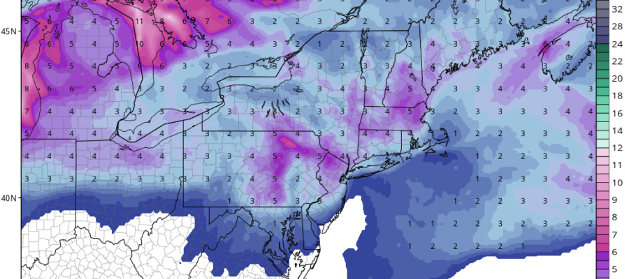
During the day, we won’t go much further than the mid 20’s, with a stiff breeze and gusty winds continuing. Clouds increase tonight, with a chance of snow after midnight as the warm front associated with part 1 of our weekend system arrives. Temps will remain steady in the 20’s and winds will calm down. Anything that falls will indeed stick, even as temperatures quickly rise into the 30’s by sunrise. Snow will continue, possibly heavy at times, before turning to rain by mid-morning and enter the 40’s. Snow accumulations will range from 2-4″ in most areas, on the lower end at the immediate coast, and highest on the north shore of Queens, Manhattan, and Staten Island. Depending on the exact set-up of the precip and if any banding develops along the warm front, we may have to adjust snow amounts a touch higher in localized areas.
That being said, everything that falls, especially in the NYC area will be washed away by temps well above freezing, and rain heavy at times before we get a break and wait for the cold front to arrive on Sunday. More on the complete weekend forecast late this morning which includes some 50 degree temps for Sunday and maybe a rumble of thunder.

NYC FRIGID PLUS SNOW EXPECTED – Satellite continues to show the milky white signature of cold air over us, as the next system starts to stretch it’s legs across the upper and central midwest.
NYC FRIGID PLUS SNOW EXPECTED – Radar is quiet aside from a few Lake Effect snow bands. Things will pick up in about 24 hours as a warm front and snow arrives.
FiOS1 News Weather Forecast For Long Island
FiOS1 News Weather Forecast For New Jersey
FiOS1 News Weather Forecast For Hudson Valley
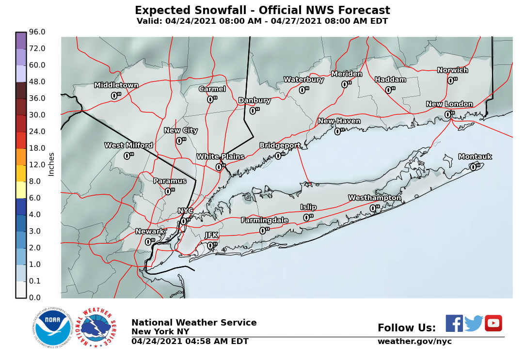
NATIONAL WEATHER SERVICE SNOW FORECASTS
LATEST JOESTRADAMUS ON THE LONG RANGE
Weather App
Don’t be without Meteorologist Joe Cioffi’s weather app. It is really a meteorologist app because you get my forecasts and my analysis and not some automated computer generated forecast based on the GFS model. This is why your app forecast changes every 6 hours. It is model driven with no human input at all. It gives you an icon, a temperature and no insight whatsoever.
It is a complete weather app to suit your forecast needs. All the weather information you need is right on your phone. Android or I-phone, use it to keep track of all the latest weather information and forecasts. This weather app is also free of advertising so you don’t have to worry about security issues with your device. An accurate forecast and no worries that your device is being compromised.
Use it in conjunction with my website and my facebook and twitter and you have complete weather coverage of all the latest weather and the long range outlook. The website has been redone and upgraded. Its easy to use and everything is archived so you can see how well Joe does or doesn’t do when it comes to forecasts and outlooks.
Just click on the google play button or the apple store button on the sidebar for my app which is on My Weather Concierge. Download the app for free. Subscribe to my forecasts on an ad free environment for just 99 cents a month.
Get my forecasts in the palm of your hand for less than the cost of a cup of Joe!


