NYC Heat Continues As Gulf Watches Future Barry
Good morning everyone. We have a hot and dry day ahead of us before humidity begins to creep back in, as well as the prospect of some thunderstorms. Meanwhile, all eyes on what will probably become Barry along the Gulf.
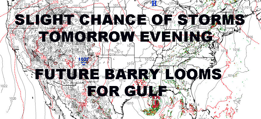
SATELLITE

We’ll have mid-level clouds and sun this morning, giving way to partly cloudy skies as we go on. It’ll be sunny and somewhat dry, but not as dry as yesterday with humidity slowly creeping up. Highs will be in the upper 80’s to ow 90’s, cooler at the immediate shore.
Tomorrow, we lower the temps a bit, but turn up the juice. IT’ll be a warm and muggy day with mid to upper 80’s, and we’ll have the chance of showers and storms mid-afternoon onward. Just like this past week, we’ll have to see what survives the trip and what doesn’t. If the line doesn’t break up or weaken, expect heavy rain, gusty winds, and frequent lightning with these storms.
Beginning early tomorrow afternoon, we’ll begin watching the radar to see what happens.
REGIONAL RADAR

On Friday, we’ll have some leftover instability and also bring back the heat. Expect the slight chance of storms till late afternoon, and we go for upper 80’s to low 90’s.
Your weekend is pretty much set in stone now, with sunny and hot conditions both days; highs in the upper 80’s to low 90’s again, cooler at the immediate shore.
LOCAL RADAR NEW YORK CITY

The possibility of a heatwave still exists, but we have to see if it meets the absolute definition. One “off” day and it won’t be considered a heatwave even if the other days are very hot.
So far, Monday won’t be part of this heatwave if it happens, with sunny skies and highs in the upper 80’s. On Tuesday, we start pushing that 90 mark, and we could see low 90’s across the area.
As of now, mid-90’s are possible Wednesday through Friday, then we have to see the timing of our next front. We are too far out, but we could see a strong cold front pass through either some time Saturday or Sunday. That’ll cut the legs off of the heat, then we take a break and reset.
We’ll be keeping a close eye on it all, and for the moment, I think the hottest stretch will be next Tuesday through next Friday, with a possible bonus day on Saturday depending on the front.
LOCAL RADAR PHILADELPHIA


As far “Future” Barry is concerned, low pressure drifting SW from land to the Gulf, will develop into a depression, then possibly a tropical storm. The Gulf is a strange place and things can develop rather quickly, or just meander as is. I think at a minimum we see a Barry form, but if it spends a little extra time over the ocean, it could quickly develop into a strong TS or minimal hurricane.
You can just add it to the many things we are watching the next 7 days or so. Stay tuned!
MANY THANKS TO TROPICAL TIDBITS FOR THE USE OF MAPS
Please note that with regards to any tropical storms or hurricanes, should a storm be threatening, please consult your local National Weather Service office or your local government officials about what action you should be taking to protect life and property.