DOWNLOAD MY NEW FREE JOESTRADAMUS WEATHER APP FOR ALL DEVICES
THE APP IS ABSOLUTELY FREE TO ALL BUT CONSIDERING SUBSCRIBING TO PATREON FOR A WEATHER EXPERIENCE FREE OF ADS, EXCLUSIVE VIDEOS FOR MEMBERS ONLY AND MUCH MORE…STARTS AT $2 A MONTH..MESSAGE ME AT ANY TIME
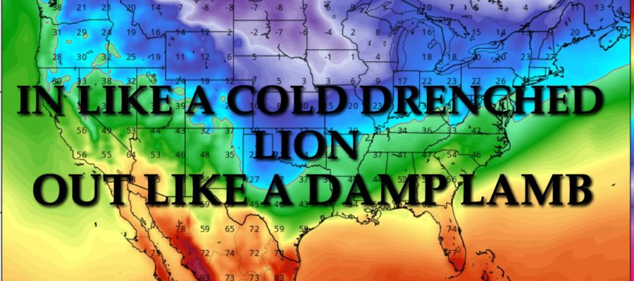
NYC MARCH 2019 OUTLOOK
Good morning everyone. Since there are no blizzards on the immediate horizon for the NYC area, we’re going to take a look into the crystal ball for March as we near Spring. We’ll also go over what to expect this weekend with our powerful system racing into the Great Lakes region.
EASTERN SATELLITE

The veil of icy clouds well out ahead of our next system has already blanketed the area. We’ll have a damp feel to the air today as winds begin to source off of the ocean, but we’ll remain dry for the day; highs in the low 40’s.
Tonight, rain moves in and expect it to be heavy at times, especially towards morning. Rain sticks around until late morning/early afternoon tomorrow, and don’t be surprised if we hear a rumble of thunder or two, as well as flood advisories/statements popping up. Remember, the ground remains very saturated. Highs tomorrow in the mid 50’s for the most part, maybe a touch higher if the sun can come out early.
Expect 1-2″ of rain out of this one, but the big story will be the wind behind this system as everything departs. Look for a windy and colder Sunday night with lows in the upper 20’s to low 30’s, then a very windy and cold Monday. Highs Monday will be in the upper 30’s to low 40’s, and winds could gust to near 50mph in spots.
REGIONAL RADAR

As we enter the rest of the week, Monday night is going to be cold and windy, with lows in the upper teens to low 20’s. Tuesday through Thursday will be slightly below normal, but dry as that huge blizzard expected by the internet, doesn’t materialize. Look for mid 30’s Tuesday and Wednesday, then mid to upper 30’s Thursday. For Friday, we’ll start to creep back to normal territory as our next vigorous system arrives.
LOCAL RADAR NEW YORK CITY

As of now, next weekend is looking like a rainy one as another system takes a very similar track as this weekend’s system. However, the timing will be different and we might not squeeze out a warm day during the next one. We’ll wait to pin down the precipitation timing and timing of the mild wedge of air, but as of now, things look to be mostly or all rain, and some unseasonably cold air will be behind it.
LOCAL RADAR PHILADELPHIA


This brings us into March talk. To begin March, things are looking fairly unsettled and with a couple of shots of colder air possible. We’re not talking what we saw last year and we don’t have 4 Nor’Easters on the table right now, but we could see a couple of 2-4 day blocks where we don’t get out of the upper 20’s or 30’s for highs as each system passes.
Come around mid-March, it looks as things start to relax with the colder air invasions, but the pattern remains active and wet. Unless I see any big changes, expect a relatively cold and wet 1st half of March, then a seasonable and wet second half. I definitely don’t see any dry spells or droughts heading our way. There’s always that outside chance of a snowy surprise during March, but as of this very moment, there’s nothing on the immediate horizon.
MANY THANKS TO TROPICAL TIDBITS FOR THE USE OF MAPS
Please note that with regards to any tropical storms or hurricanes, should a storm be threatening, please consult your local National Weather Service office or your local government officials about what action you should be taking to protect life and property.