NYC Nova Scotia Turns Deep South Soon
Good morning everyone. The maritime influence continues to want to stick around and will do so as our next pattern sets up. Our little break ends though this weekend, and we may even see 90/near 90 temps once again in our area to end the weekend or to start next week off. This will be a reminder for many that it is still summer and it is still August.
SATELLITE

We continue today with the pop up shower/storm risk, but at least we’ll see more sunshine. East/Southeast breezes will keep things slightly below normal, with highs near 80.
We’ll repeat tomorrow, keeping the maritime flow in place, temps near 80, and the slight chance of an isolated shower or storm.
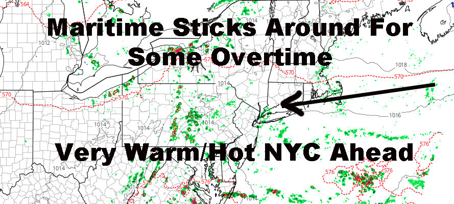
REGIONAL RADAR

As warmer air heads in for our weekend, that will again keep the chance of a shower or storm around, but no washouts are expected. We go from slightly below normal to slightly above normal as we make a run for mid 80’s on Saturday.
On Sunday, the very warm to hot air is back. At this point, I think we fully dry out on Sunday, but we’re looking at upper 80’s to near 90.
LOCAL RADAR NEW YORK CITY

To start the week, very warm to hot air continues as that tropical air is pumped in from the south. We’ll go for upper 80’s to low 90’s on both Monday and Tuesday, then maybe take a step back on Wednesday and Thursday as the humidity and clouds increase. It’ll most likely be very warm though, with mid 80’s possibly, maybe even some sunshine-dependent upper 80’s. Warm and humid air is also expected to stick around late week and into the following weekend, where we might make another run for 90 again.
LOCAL RADAR PHILADELPHIA


In the long range and I hate to sound like a broken record, but I continue to see no signs of an early fall pattern. According to models several weeks ago, we were supposed to get into some prolonged, cool air August 10th, onward; and I was very skeptical about this for good reason. They kept kicking the can down the road, virtually saying, “ok next week, no, the week after.”
That is a bad sign in terms of accuracy, and aside from a cooler than average day due to cloud cover/precip here and there, I don’t see any true relief possible until MAYBE late August/early September.
MANY THANKS TO TROPICAL TIDBITS FOR THE USE OF MAPS
Please note that with regards to any tropical storms or hurricanes, should a storm be threatening, please consult your local National Weather Service office or your local government officials about what action you should be taking to protect life and property.