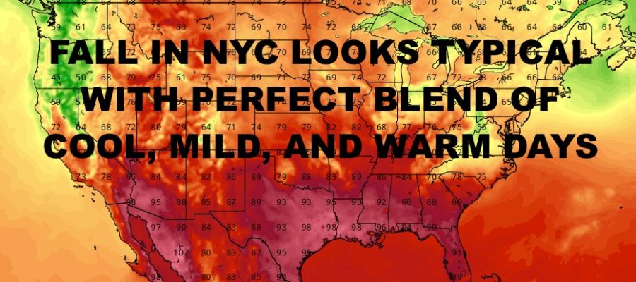
NYC Perfect Early Fall Blend Ahead
Good morning everyone. We have a beautiful day today before some rain heads in tomorrow. Other than that, we have nothing really exciting going on as our headline-maker, Hurricane Lee, is long gone. The long range is holding steady, with a perfect blend of early fall weather consisting of cool, mild, and warm days. We’ll also be on the somewhat dry side (aside from tomorrow), with little rain expected over the next 2 weeks or so.
SATELLITE

For today, expect sunshine for most of the day, then increasing clouds late. We’ll have the chance of some showers overnight, but the bulk of the rain heads in tomorrow. Highs today a comfy mid to upper 70’s.
Expect mostly cloudy skies tomorrow with on and off rain. We’ll also have the chance for a few rumbles of thunder. Highs tomorrow will be on the cool side with upper 60’s to low 70’s.
WEATHER RADAR

Sunshine returns for Tuesday, but it’ll be a breezy one with winds gusting to 20-25mph at times. Highs will rebound into the mid 70’s. Winds will diminish for Wednesday, with more sunshine and mid 70’s.
Mid 70’s and sunshine continue for Thursday, and the same goes for Friday. The weekend so far looks like a mixed bag, with sun & clouds on Saturday with more mid 70’s; then the slight chance of a few showers Sunday and low 70’s.

BE SURE TO DOWNLOAD THE FREE METEOROLOGIST JOE CIOFFI WEATHER APP &
ANGRY BEN’S FREE WEATHER APP “THE ANGRY WEATHERMAN!
MANY THANKS TO TROPICAL TIDBITS & F5 WEATHER FOR THE USE OF MAPS
Please note that with regards to any severe weather, tropical storms, or hurricanes, should a storm be threatening, please consult your local National Weather Service office or your local government officials about what action you should be taking to protect life and property.