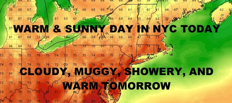
NYC Quiet & Warm Day Today
05/07/24 11:09am ET
Good morning everyone. We have a quiet and relatively warm day in the Northeast today as our next system begins to gather up for a gloomy rest of the week. On & off showers and thundershowers look to visit the area starting tomorrow, before finally clearing out some time Friday night.
Heavy rain and storms stretch from Wisconsin down to Tennessee, which are the fizzled-out version of our severe weather outbreak last night. We’ll continue to see this swath of rain and thunder move north, northeast, east, and southeast, before petering out in the overnight hours.
That energy will help bring about a new round of strong to severe thunderstorms that’ll dot the region in parts of Iowa, Missouri, Oklahoma, Arkansas, Tennessee, Kentucky, Illinois, Ohio; and maybe even into northeast Texas, northwest Louisiana, and northwest Georgia. This will be a slow-gathering process that’ll once again start out as scattered clusters or isolated. cells, then form into several multi-directional lines.
The timeframe on this action looks to be from tomorrow afternoon, into early Friday morning from west to east. Look for isolated severe conditions at first, then more widespread as everything begins to line up. As we’ve seen in the past several weeks, these storms will come with isolated large hail, frequent lightning, torrential rain, damaging winds, and the chance for some strong tornadoes.
Here is your local NYC Metro forecast –
SATELLITE
We have some much-needed sunshine today and warm conditions. It’ll be nothing out of the ordinary, with highs in the upper 70’s to low 80’s. Near 80 degree temps stick mourned tomorrow, but we go mostly cloudy and muggy. We’ll also have some on and off showers to contend with, maybe a rumble or two as well.
WEATHER RADAR
Clouds stick around Thursday and Friday, but we are no longer on the warm side. We’ll have highs in the 60’s with on & off showers.
Sunshine returns on Saturday (albeit a mix of sun & clouds), and we stick around int he 60’s. 60’s return again on Sunday, but we add more clouds and the chance of a shower.
BE SURE TO DOWNLOAD THE FREE METEOROLOGIST JOE CIOFFI WEATHER APP &
ANGRY BEN’S FREE WEATHER APP “THE ANGRY WEATHERMAN!
MANY THANKS TO TROPICAL TIDBITS & F5 WEATHER FOR THE USE OF MAPS
Please note that with regards to any severe weather, tropical storms, or hurricanes, should a storm be threatening, please consult your local National Weather Service office or your local government officials about what action you should be taking to protect life and property.


