NYC SEVERE WEATHER POSSIBLE TODAY EYES REMAIN FOCUSED HURRICANE FLORENCE
Good morning everyone. While it’s important we watch Hurricane Florence and whether or not it’ll affect New York City, we also have some immediate local weather issues as well.
Hot weather continues today, although it’s about to come to an abrupt end with the help of a fairly vigorous cold front coming down from the NNW. Not only will this break the heat and humidity for several days, but it’ll also give us a decent shot at some late afternoon/early evening thunderstorms. Some of these storm may reach severe limits, and this NNW approach typically doesn’t allow for much weakening when or if a line approaches the coast. The main threat with these storms for those who do see them, will be torrential rain, damaging winds, frequent lightning, and hail. Expect highs 90-95 today in the NYC area.
Tomorrow, we remain cloudy, much cooler, with the slight chance of showers throughout the day. A maritime flow will help keep us in the low to mid 70’s. Saturday looks like a carbon copy, then drier and even cooler air works its way in for Sunday. We may see a few more peeks of sun, but we’ll barely climb out of the 70’s. there could even be some 60’s as highs on Long Island.
On Monday, we remain in the 70’s and have a good shot for some soaking rain as Gordon’s remnants finally make it here as a wave along a slow moving front. After that, we jump back into the mid 80’s from Tuesday onward, but have to wait and see what Florence has planned for the east coast; which we discuss the latest below….
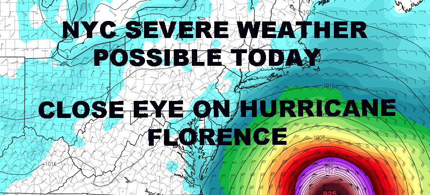
WESTERN ATLANTIC SATELLITE

This morning, Hurricane Florence is encountering some shear as she misses that bus to go north. However, there was still enough upper level winds to weaken her a bit down to 115mph max sustained winds for the time being. After she gets past this rough patch of atmosphere, it’s likely that Florence will try and strengthen again.
While everyone has the jitters due to models taking Florence towards the East Coast, we have a long way to go and our friends in Bermuda need some close watching first. As she approaches Bermuda, there’s another chance for her to turn out to sea. If she misses the bus, it could bring her on a more NW track temporarily before going back to a west or WNW track. This would bring her in very close proximity to Bermuda.
After Bermuda or near Bermuda, all bets are off for the time being. We do know that models are agreeing with some sort of curvature north, then northeast, then east; but does that curvature happen too late after slamming the mid-Atlantic somewhere? Does it happen as it reaches the coast, bringing it too close to NJ, NYC, Long Island and New England? Or does this happen over water and just give us some epic surf….
Time will tell and as stated yesterday, we have a LONG way to go. Model watching run to run will get the blood pumping, but we should still be taking this day to day for now.
*Please consult your local National Weather Service office at weather.gov for the latest information on any tropical storms or hurricanes that could be a threat to your area. Consult your local government officials regarding action you may need to take to secure life and property. Maps shown on here SHOULD NOT be used for decision making.
FiOS1 News Weather Forecast For Long Island
FiOS1 News Weather Forecast For New Jersey
FiOS1 News Weather Forecast For Hudson Valley