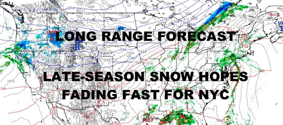
NYC Springtime Pattern Dashes Snow Hope
Tuesday March 5, 2024 9:41am ET
Good morning everyone and welcome to the typical doom & gloom of March, especially for the Northeast. Things are looking rainy from the Southeast, to the Mid-Atlantic, and the Northeast as an active early-spring-like pattern builds and persists over the next 10-15+ days. For those who miss snow or love a late-season snowstorm, chances are dwindling as our systems trek from the West Coast, dive into the Southwest, then race northeast into the Great Lakes and/or Northeast.
It’s simply not a good pattern if you’re looking for March snow in NYC. However, the pattern is prime for severe weather, which is a situation we’ve seen play out since January for the South. We’ll once again watch a system tap the Gulf moisture, send copious amounts of rain to parts of the central and eastern Gulf Coast, and flare up thunderstorms capable of large hail, damaging winds, and isolated tornadoes.
As we speak, we’re seeing those strong to severe storms develop well north and east of Houston, drifting southeast towards the Texas and Louisiana gulf coast border. We’re also watching big storms coming out of northeast Louisiana heading into western Mississippi. As the afternoon wears on, these storms will be capable of more widespread severe weather. We’ll also watch the Southeast coast closely, where a wave of low pressure is set to form tomorrow AM, sending heavy rain and possible severe storms up the Georgia coast into South Carolina and North Carolina. This will play out again on Friday from the TX/LA border, on east into the Carolinas for the weekend.
Overall, we are looking mild and rainy from the Mississippi to the East Coast throughout this period into late March. There are several cool/cold shots of air behind each system, but the air modifies quickly. For this reason, aside from the off-chance of some onset mixed precip from a hypothetical system down the road, or some flurries behind a departing system, I believe NYC is snow-free into late March; making it even harder to squeeze out a rare surprise system in April.
Your local NYC Metro forecast is below –
SATELLITE
Look for rain, heavy at times this morning, then a chance of scattered showers. We hang in the upper 40’s to low 50’s today for a cloudy and cool day.
Rain takes a break tonight, then rain returns by tomorrow afternoon. Expect more rain, heavy at times, and more highs near 50.
WEATHER RADAR
Steady rain departs Thursday morning, then we’ll have the chance of scattered showers all day. Highs near 50 and becoming breezy.
Friday is the only dry day of the week, with a mix of sun & clouds and highs in the mid 50’s.
Rain returns again on Saturday, heavy at times, and highs in the near 50 range. Expect scattered showers on Sunday with a developing breeze, highs near 50 again.
BE SURE TO DOWNLOAD THE FREE METEOROLOGIST JOE CIOFFI WEATHER APP &
ANGRY BEN’S FREE WEATHER APP “THE ANGRY WEATHERMAN!
MANY THANKS TO TROPICAL TIDBITS & F5 WEATHER FOR THE USE OF MAPS
Please note that with regards to any severe weather, tropical storms, or hurricanes, should a storm be threatening, please consult your local National Weather Service office or your local government officials about what action you should be taking to protect life and property.


